Channel & Berth Profile
Pilotage, Tugs & Services
Pilotage compulsoryYES
Pilotage advisableYES
Tug assistanceYES
Shore powerYES
Potable waterYES
Diesel bunkersYES
MedicalYES
Garbage disposalYES
Facilities & Capabilities
Container—
Ro-Ro—
Liquid bulk—
Dry bulk—
Oil terminal—
Break bulk—
Dry dockNO
RepairsNO
BunkeringYES
Rail linkYES
Dangerous cargo—
ISPS security—
Harbour Specifications
Harbour size
Small
Harbour type
River (Natural)
Shelter
Good
Water body
Gulf of Mexico; North Atlantic Ocean
Tidal range
0.9 m
Overhead limit
Yes
Pilotage
Yes
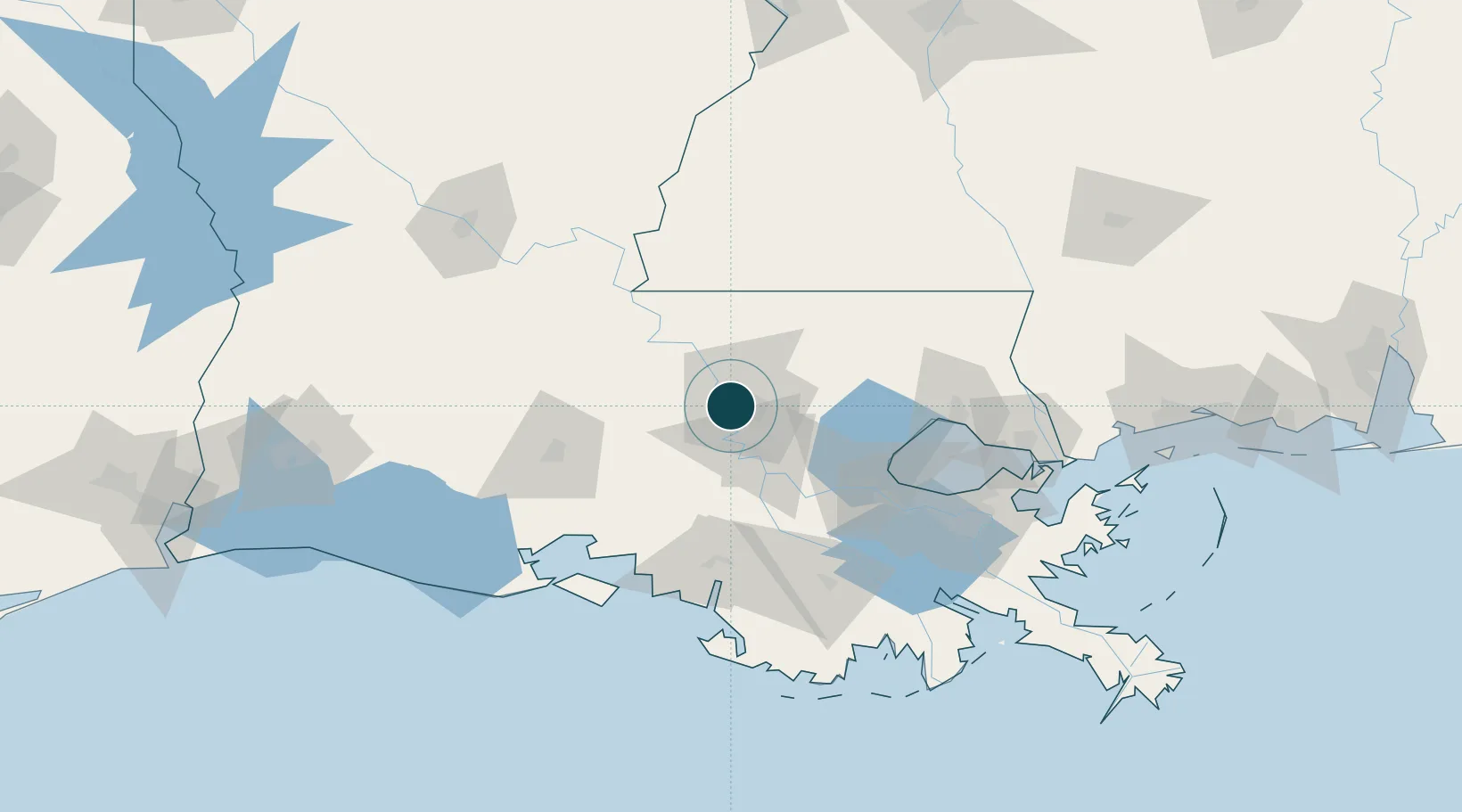
Location
Nearby Logistics Neighbours
Ports
- 1Convent59 km
- 2St. James63 km
- 3Reserve75 km
- 4Morgan City84 km
- 5Destrehan96 km
Cities
- 1Port Allen7 km
- 2Baker15 km
- 3Saint Louis23 km
- 4Lakeland25 km
- 5Slaughter30 km
Airports
Trade Zones
DatabookThe Record of Consolidated Knowledge
United States beyond logistics?