Medium airport · United States
Northwest Arkansas National AirportKXNA
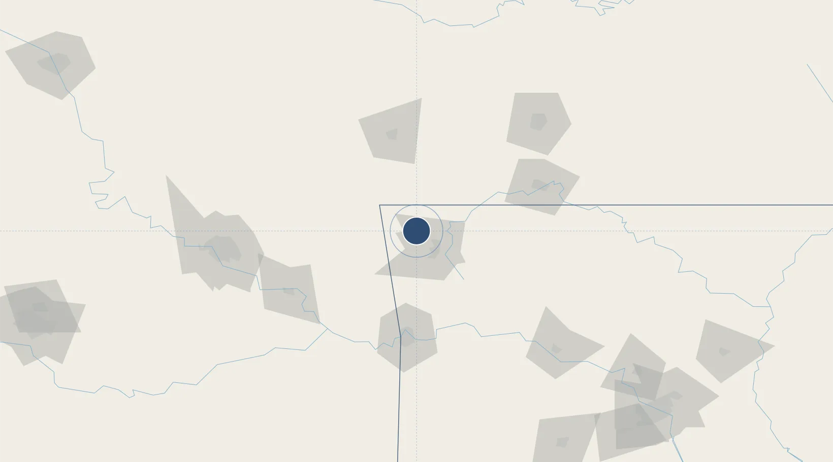
36.2819°, -94.3068°
8,801 ft
Longest runway
2
Runways
1,287 ft
Elevation
Runway & Layout

Radio Frequencies
ASOS
119.425 MHz
TWR
127.1 MHz
GND
121.9 MHz
CTAF
127.1 MHz
A/D
121 MHz
RAZORBACK APP/DEP
RDO
122.55 MHz
JONESBORO RDO
UNIC
122.95 MHz
UNICOM
Runways · 2
| Runway | Dimensions | Surface | True heading | Lit |
|---|---|---|---|---|
| 16L/34R | 8,801 × 150ft | Concrete | 160° | ✓ |
| 16R/34L | 8,800 × 150ft | concrete | 160° | ✓ |
Airport Specifications
IATA code
XNA
ICAO code
KXNA
Airport class
Medium airport
Scheduled service
Yes
Runway surface
Concrete
Served city
Fayetteville/Springdale/Rogers
Location
Nearby Logistics Neighbours
Airports
- 1Drake Field33 km
- 2Joplin Regional Airport98 km
- 3Branson Airport103 km
- 4Boone County Airport103 km
- 5Fort Smith Regional Airport105 km
Ports
- 1Port Of Memphis398 km
- 2Lake Charles682 km
- 3Beaumont690 km
- 4Orange691 km
- 5Port Neches699 km
Trade Zones
- 1FTZ No. 164 Muskogee119 km
- 2FTZ No. 053 Rogers County139 km
- 3FTZ No. 225 Springfield145 km
- 4FTZ No. 014 Little Rock259 km
- 5FTZ No. 015 Kansas City289 km
DatabookThe Record of Consolidated Knowledge
United States beyond logistics?