UN/LOCODE hub · United States
USQKC
Kimberling City
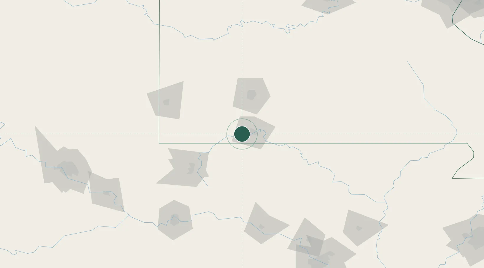
36.6333°, -93.4167°
2,313
Population
3
Transport functions
Transport Functions
Port
Road
Multimodal
Hub Profile
Place type
Populated place
Region
Missouri
Population
2,313
Time zone
America/Chicago
Elevation
290 m
Location
Nearby Logistics Neighbours
Cities
- 1Reeds Spring13 km
- 2Hollister19 km
- 3Walnut Shade23 km
- 4Golden25 km
- 5Jenkins29 km
Ports
- 1Port Of Memphis341 km
- 2Lake Charles714 km
- 3Baton Rouge718 km
- 4Orange729 km
- 5Beaumont731 km
Airports
Trade Zones
- 1FTZ No. 225 Springfield67 km
- 2FTZ No. 164 Muskogee208 km
- 3FTZ No. 053 Rogers County220 km
- 4FTZ No. 014 Little Rock241 km
- 5FTZ No. 015 Kansas City278 km
DatabookThe Record of Consolidated Knowledge
United States beyond logistics?