Transport Functions
Road
Multimodal
Hub Profile
Place type
Populated place
Region
Missouri
Time zone
America/Chicago
Elevation
342 m
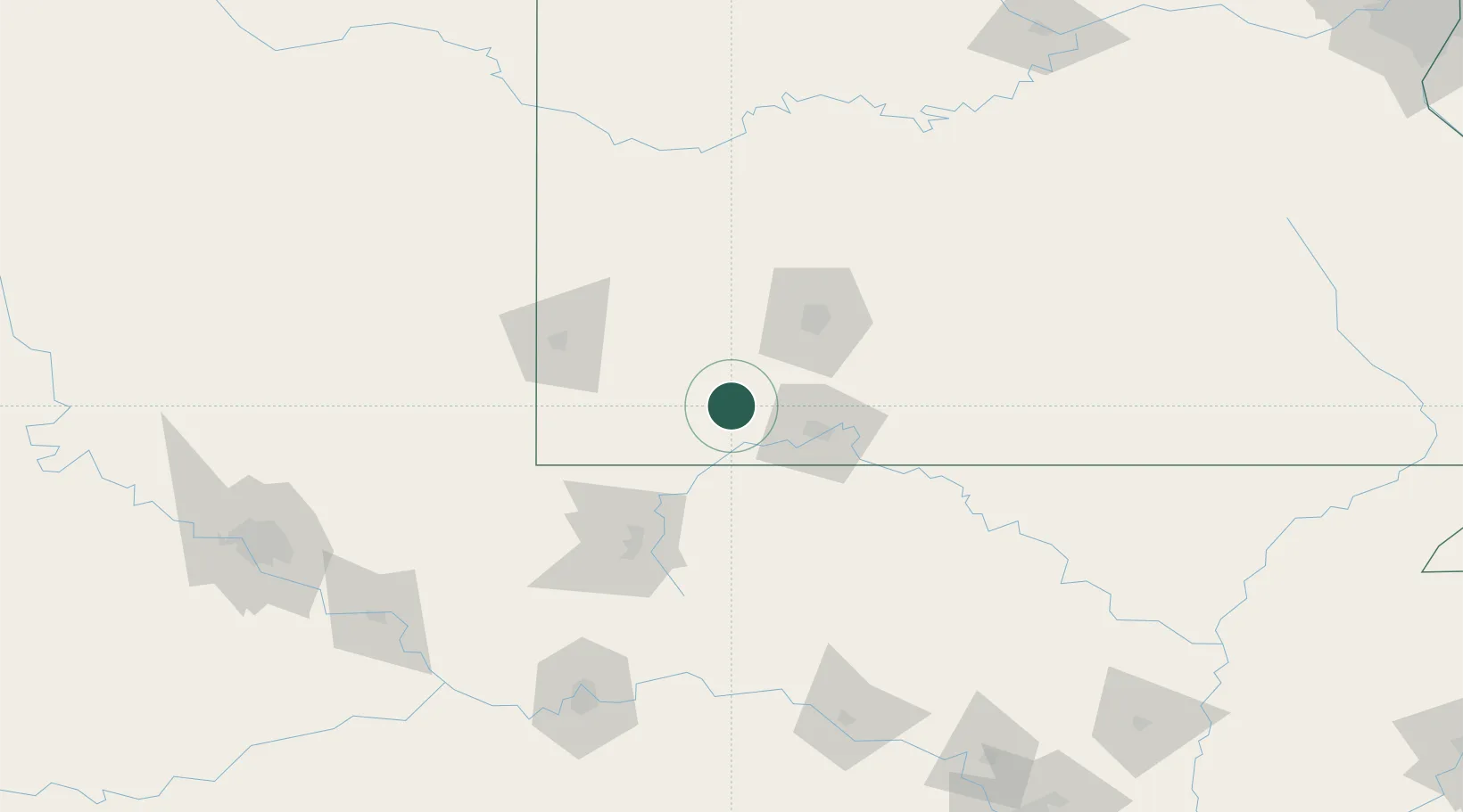
Location
Nearby Logistics Neighbours
Cities
- 1Cassville20 km
- 2Purdy21 km
- 3Marionville25 km
- 4Reeds Spring27 km
- 5Kimberling City29 km
Ports
- 1Port Of Memphis370 km
- 2Lake Charles731 km
- 3Baton Rouge741 km
- 4Orange745 km
- 5Beaumont746 km
Airports
Trade Zones
- 1FTZ No. 225 Springfield66 km
- 2FTZ No. 164 Muskogee196 km
- 3FTZ No. 053 Rogers County200 km
- 4FTZ No. 015 Kansas City252 km
- 5FTZ No. 014 Little Rock267 km
DatabookThe Record of Consolidated Knowledge
United States beyond logistics?