Transport Functions
Port
Road
Hub Profile
Place type
Populated place
Region
Missouri
Time zone
America/Chicago
Elevation
230 m
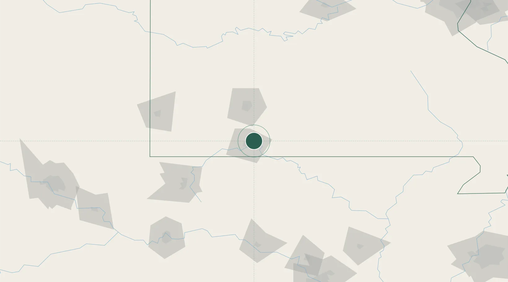
Location
Nearby Logistics Neighbours
Cities
- 1Hollister11 km
- 2Reeds Spring18 km
- 3Kimberling City23 km
- 4Jenkins45 km
- 5Golden47 km
Ports
- 1Port Of Memphis328 km
- 2Baton Rouge721 km
- 3Lake Charles723 km
- 4Orange739 km
- 5Indiana Harbor740 km
Airports
Trade Zones
- 1FTZ No. 225 Springfield54 km
- 2FTZ No. 164 Muskogee230 km
- 3FTZ No. 014 Little Rock240 km
- 4FTZ No. 053 Rogers County242 km
- 5FTZ No. 015 Kansas City280 km
DatabookThe Record of Consolidated Knowledge
United States beyond logistics?