UN/LOCODE hub · United States
USGZC
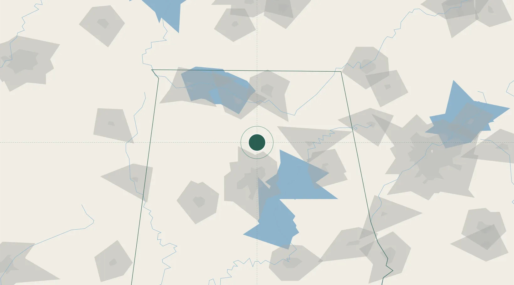
Garden City
34.0167°, -86.7500°
496
Population
2
Transport functions
Transport Functions
Rail
Road
Hub Profile
Place type
Populated place
Region
Alabama
Population
496
Time zone
America/Chicago
Elevation
153 m
Location
Nearby Logistics Neighbours
Ports
- 1Port Of Memphis334 km
- 2Mobile392 km
- 3Pensacola405 km
- 4Pascagoula442 km
- 5Panama City444 km
Airports
Trade Zones
DatabookThe Record of Consolidated Knowledge
United States beyond logistics?