UN/LOCODE hub · United States
USRO2

Santa Rosa Island

33.9500°, -120.1000°
1
Transport functions

Transport Functions

Port
UN/LOCODE

Hub Profile

Region
CA
GeoNames

Location

Location of USRO2
Natural Earth 10m (public domain) · CA · USRO2 · 33.95, -120.10GoogleOSMYandex

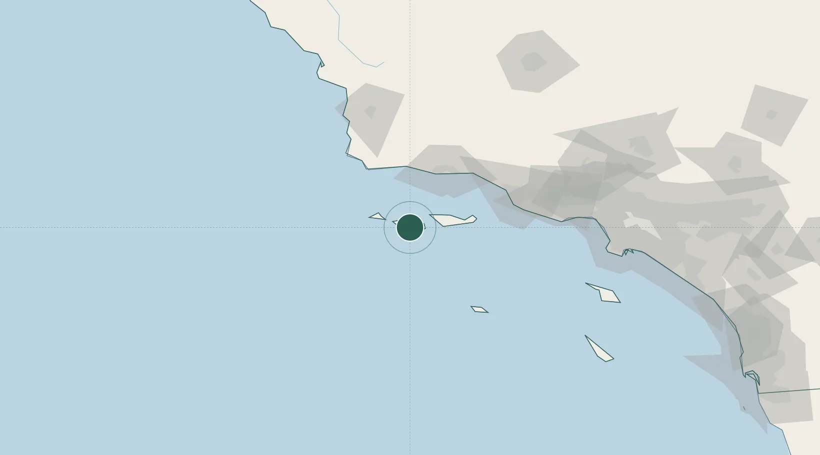
Nearby Logistics Neighbours

Cities
  1. 1Ellwood56 km
  2. 2Capitan56 km
  3. 3Elwood57 km
  4. 4Goleta59 km
  5. 5Point Conception65 km
Nearest neighbours — logibook spatial index (haversine) over the source coordinates
Ports
  1. 1Ellwood56 km
  2. 2Santa Barbara65 km
  3. 3Carpinteria72 km
  4. 4Ventura84 km
  5. 5Port Hueneme86 km
Nearest neighbours — logibook spatial index (haversine) over the source coordinates
Airports
  1. 1Santa Barbara Municipal Airport58 km
  2. 2Oxnard Airport87 km
  3. 3Point Mugu Naval Air Station (Naval Base Ventura Co)92 km
  4. 4Camarillo International Airport97 km
  5. 5Vandenberg Space Force Base98 km
Nearest neighbours — logibook spatial index (haversine) over the source coordinates
Trade Zones
  1. 1FTZ No. 205 Port Hueneme86 km
  2. 2FTZ No. 202 Los Angeles170 km
  3. 3FTZ No. 050 Long Beach182 km
  4. 4FTZ No. 276 Kern County187 km
  5. 5FTZ No. 191 Palmdale195 km
Nearest neighbours — logibook spatial index (haversine) over the source coordinates
DatabookThe Record of Consolidated Knowledge
United States beyond logistics?
Browse databook

All Sources

LocationsUN/LOCODE
UN/LOCODE — free
Portsthe NGA World Port Index
Public domain (US gov)
AirportsOurAirports
Public domain
Trade Zonesthe World Bank SEZ database
CC BY 4.0
Trade ZonesOpen Zone Map
CC BY
← United States locations