UN/LOCODE hub · United States
USPP5

Point Conception

34.4500°, -120.4667°
1
Transport functions

Transport Functions

Port
UN/LOCODE

Hub Profile

Region
CA
GeoNames

Location

Location of USPP5
Natural Earth 10m (public domain) · CA · USPP5 · 34.45, -120.47GoogleOSMYandex

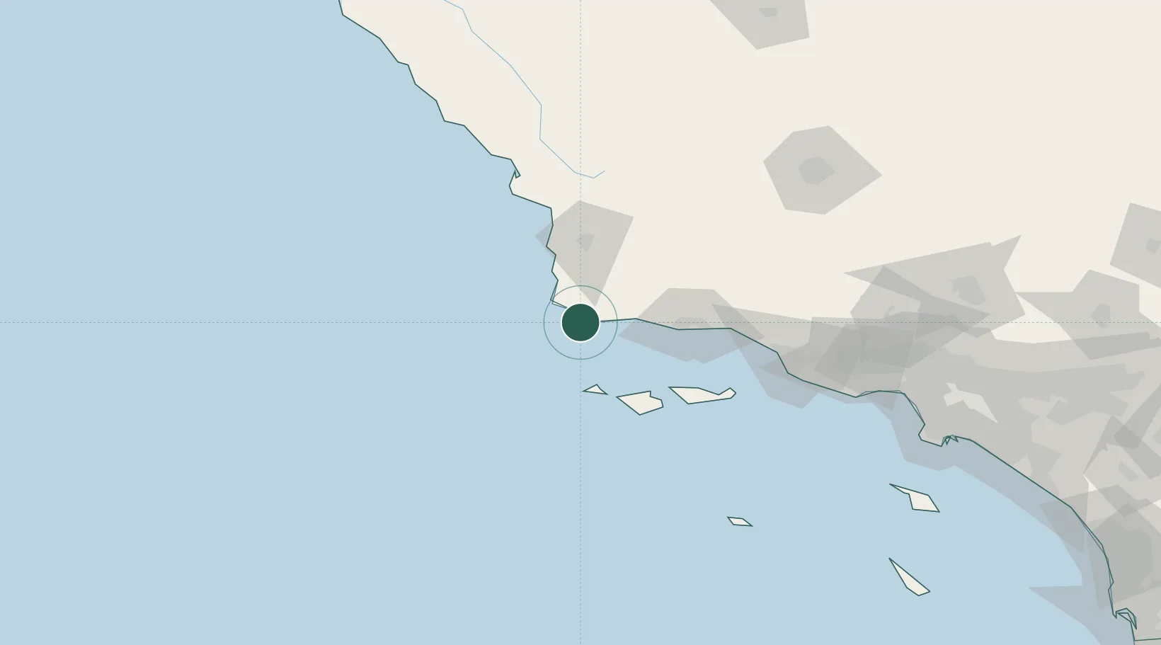
Nearby Logistics Neighbours

Cities
  1. 1Los Alamos37 km
  2. 2Capitan40 km
  3. 3Orcutt45 km
  4. 4Elwood54 km
  5. 5Ellwood54 km
Nearest neighbours — logibook spatial index (haversine) over the source coordinates
Ports
  1. 1Ellwood51 km
  2. 2Santa Barbara72 km
  3. 3Pismo Beach78 km
  4. 4Port San Luis84 km
  5. 5Carpinteria88 km
Nearest neighbours — logibook spatial index (haversine) over the source coordinates
Airports
  1. 1Vandenberg Space Force Base34 km
  2. 2Santa Maria Public Airport Captain G Allan Hancock Field50 km
  3. 3Santa Barbara Municipal Airport58 km
  4. 4San Luis County Regional Airport89 km
  5. 5Oxnard Airport119 km
Nearest neighbours — logibook spatial index (haversine) over the source coordinates
Trade Zones
  1. 1FTZ No. 205 Port Hueneme121 km
  2. 2FTZ No. 276 Kern County168 km
  3. 3FTZ No. 191 Palmdale216 km
  4. 4FTZ No. 202 Los Angeles216 km
  5. 5FTZ No. 050 Long Beach226 km
Nearest neighbours — logibook spatial index (haversine) over the source coordinates
DatabookThe Record of Consolidated Knowledge
United States beyond logistics?
Browse databook

All Sources

LocationsUN/LOCODE
UN/LOCODE — free
Portsthe NGA World Port Index
Public domain (US gov)
AirportsOurAirports
Public domain
Trade Zonesthe World Bank SEZ database
CC BY 4.0
Trade ZonesOpen Zone Map
CC BY
← United States locations