Medium airport · United States
Dothan Regional AirportKDHN
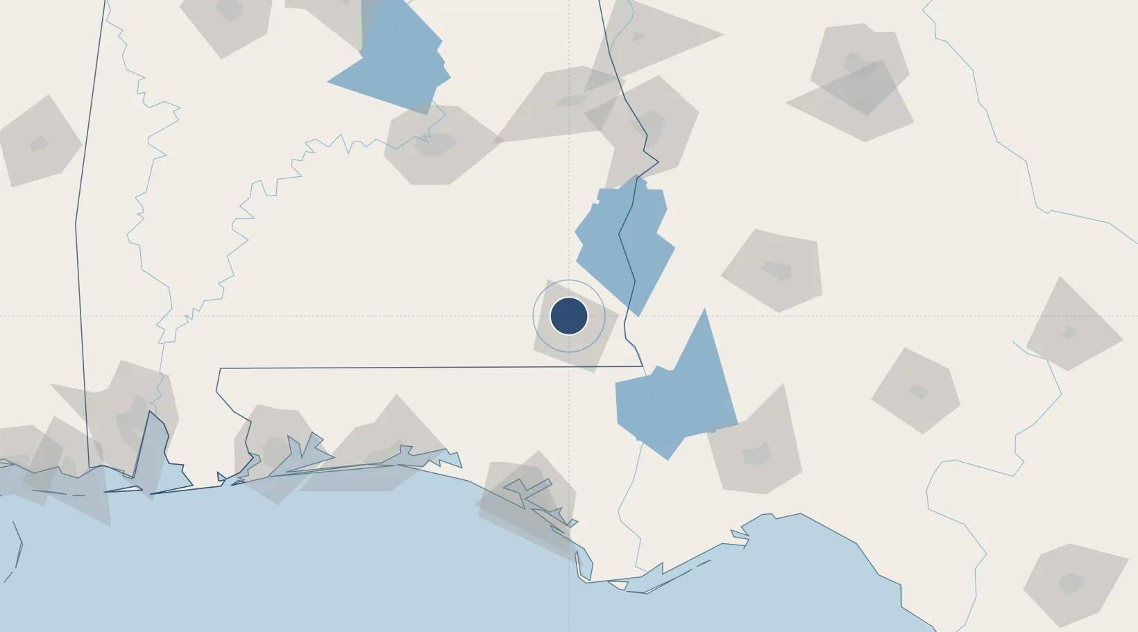
31.3213°, -85.4496°
8,500 ft
Longest runway
2
Runways
401 ft
Elevation
Runway & Layout

Radio Frequencies
ATIS
135.72 MHz
TWR
118.4 MHz
GND
121.7 MHz
CTAF
118.4 MHz
A/D
125.4 MHz
CAIRNS APP/DEP
MISC
118.4 MHz
VFR ADVSY SVC
RDO
122.2 MHz
ANNISTON RDO
UNIC
122.95 MHz
UNICOM
Runways · 2
| Runway | Dimensions | Surface | True heading | Lit |
|---|---|---|---|---|
| 14/32 | 8,500 × 150ft | Asphalt | 135° | ✓ |
| 18/36 | 5,501 × 102ft | Asphalt | 180° | ✓ |
Airport Specifications
IATA code
DHN
ICAO code
KDHN
Airport class
Medium airport
Scheduled service
Yes
Runway surface
Asphalt
Served city
Dothan
Location
Nearby Logistics Neighbours
Airports
Cities
- 1Ashford24 km
- 2Fort Rucker25 km
- 3Daleville26 km
- 4Hartford34 km
- 5Gordon39 km
Ports
- 1Panama City134 km
- 2Port St Joe168 km
- 3Carrabelle180 km
- 4Apalachicola184 km
- 5Pensacola197 km
Trade Zones
- 1FTZ No. 233 Dothan11 km
- 2FTZ No. 065 Panama City127 km
- 3FTZ No. 222 Montgomery143 km
- 4FTZ No. 249 Pensacola199 km
- 5FTZ No. 082 Mobile261 km
DatabookThe Record of Consolidated Knowledge
United States beyond logistics?