UN/LOCODE hub · United States
USAGD
Brundidge
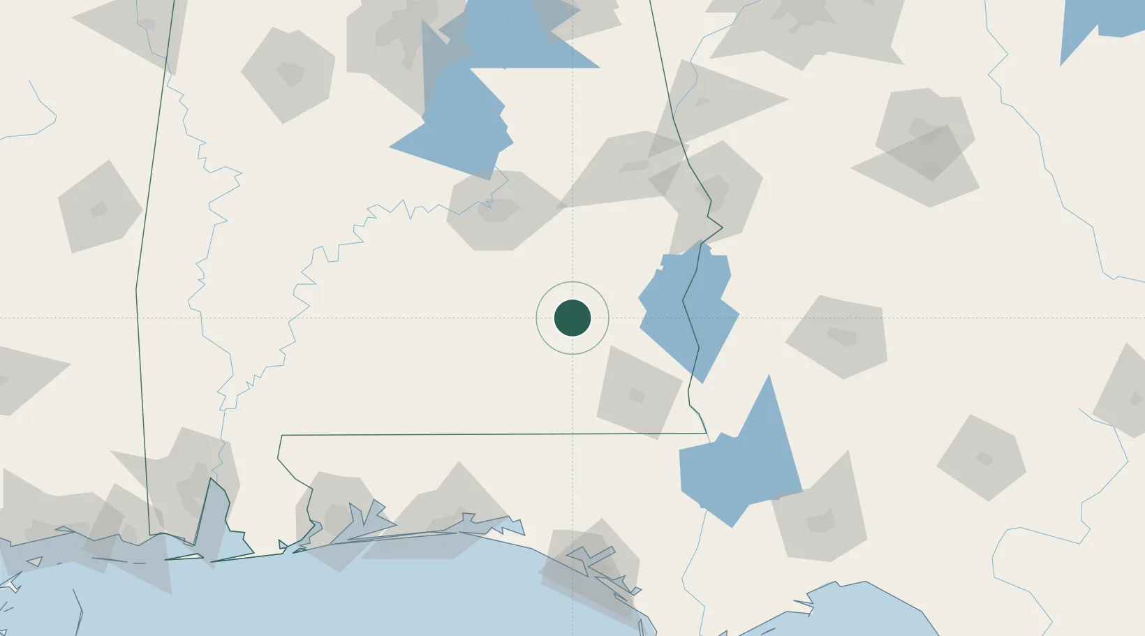
31.7167°, -85.8167°
1,989
Population
2
Transport functions
Transport Functions
Rail
Road
Hub Profile
Place type
Populated place
Region
Alabama
Population
1,989
Time zone
America/Chicago
Elevation
144 m
Location
Nearby Logistics Neighbours
Cities
- 1Ariton16 km
- 2New Brockton38 km
- 3Fort Rucker44 km
- 4Brantley44 km
- 5Daleville47 km
Ports
- 1Panama City177 km
- 2Pensacola198 km
- 3Port St Joe217 km
- 4Carrabelle235 km
- 5Apalachicola236 km
Airports
Trade Zones
- 1FTZ No. 233 Dothan66 km
- 2FTZ No. 222 Montgomery87 km
- 3FTZ No. 065 Panama City168 km
- 4FTZ No. 249 Pensacola198 km
- 5FTZ No. 098 Birmingham221 km
DatabookThe Record of Consolidated Knowledge
United States beyond logistics?