Transport Functions
Road
Multimodal
Hub Profile
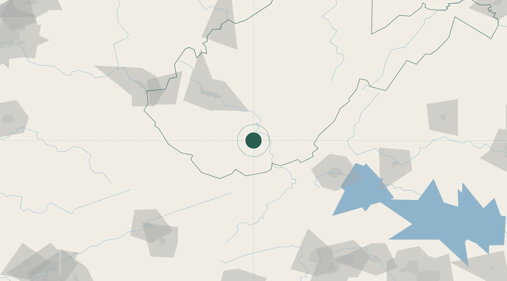
Place type
Populated place
Region
West Virginia
Population
1,881
Time zone
America/New_York
Elevation
724 m
Location
Nearby Logistics Neighbours
Ports
- 1Richmond327 km
- 2Fredericksburg327 km
- 3Alexandria376 km
- 4Washington D.C.378 km
- 5West Point381 km
Airports
Trade Zones
- 1FTZ No. 238 Dublin80 km
- 2FTZ No. 229 Charleston86 km
- 3FTZ No. 204 Tri-Cities180 km
- 4FTZ No. 230 Piedmont Triad Area192 km
- 5FTZ No. 057 Mecklenburg County275 km
DatabookThe Record of Consolidated Knowledge
United States beyond logistics?