UN/LOCODE hub · United States
US3SD
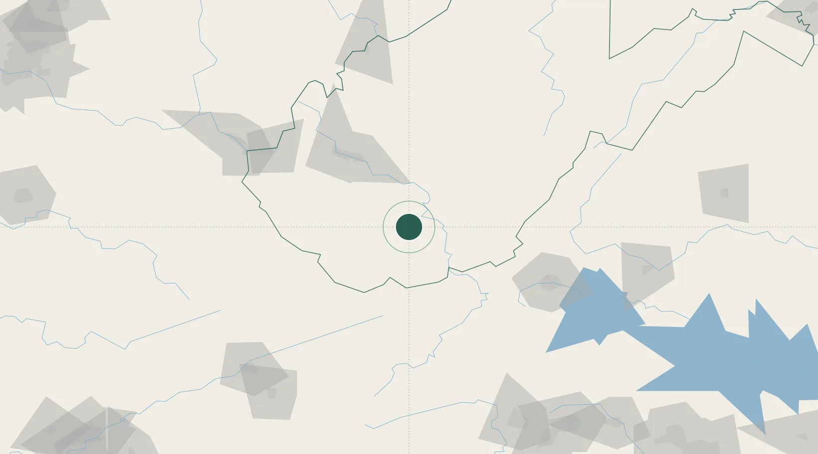
Mabscott
37.7667°, -81.2000°
1,372
Population
2
Transport functions
Transport Functions
Port
Road
Hub Profile
Place type
Populated place
Region
West Virginia
Population
1,372
Time zone
America/New_York
Elevation
699 m
Location
Nearby Logistics Neighbours
Ports
- 1Fredericksburg334 km
- 2Richmond334 km
- 3Alexandria381 km
- 4Washington D.C.384 km
- 5West Point388 km
Airports
Trade Zones
- 1FTZ No. 229 Charleston78 km
- 2FTZ No. 238 Dublin87 km
- 3FTZ No. 204 Tri-Cities179 km
- 4FTZ No. 230 Piedmont Triad Area199 km
- 5FTZ No. 138 Franklin County273 km
DatabookThe Record of Consolidated Knowledge
United States beyond logistics?