Transport Functions
Rail
Road
Hub Profile
Place type
Populated place
Region
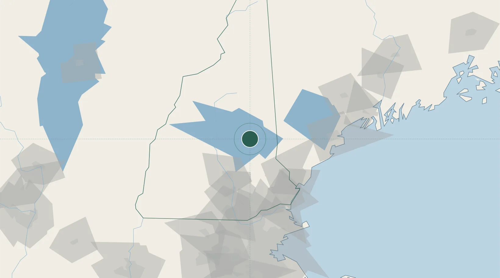
New Hampshire
Time zone
America/New_York
Elevation
163 m
Location
Nearby Logistics Neighbours
Cities
- 1Wolfeboro7 km
- 2Gilford14 km
- 3Meredith20 km
- 4Sanbornville20 km
- 5Tamworth26 km
Ports
- 1Saco67 km
- 2Kennebunkport70 km
- 3Portsmouth73 km
- 4Portland82 km
- 5Newburyport95 km
Airports
Trade Zones
- 1FTZ No. 081 Portsmouth71 km
- 2FTZ No. 263 Auburn100 km
- 3FTZ No. 268 Brattleboro137 km
- 4FTZ No. 027 Boston145 km
- 5FTZ No. 186 Waterville162 km
DatabookThe Record of Consolidated Knowledge
United States beyond logistics?