UN/LOCODE hub · United States
USMD5
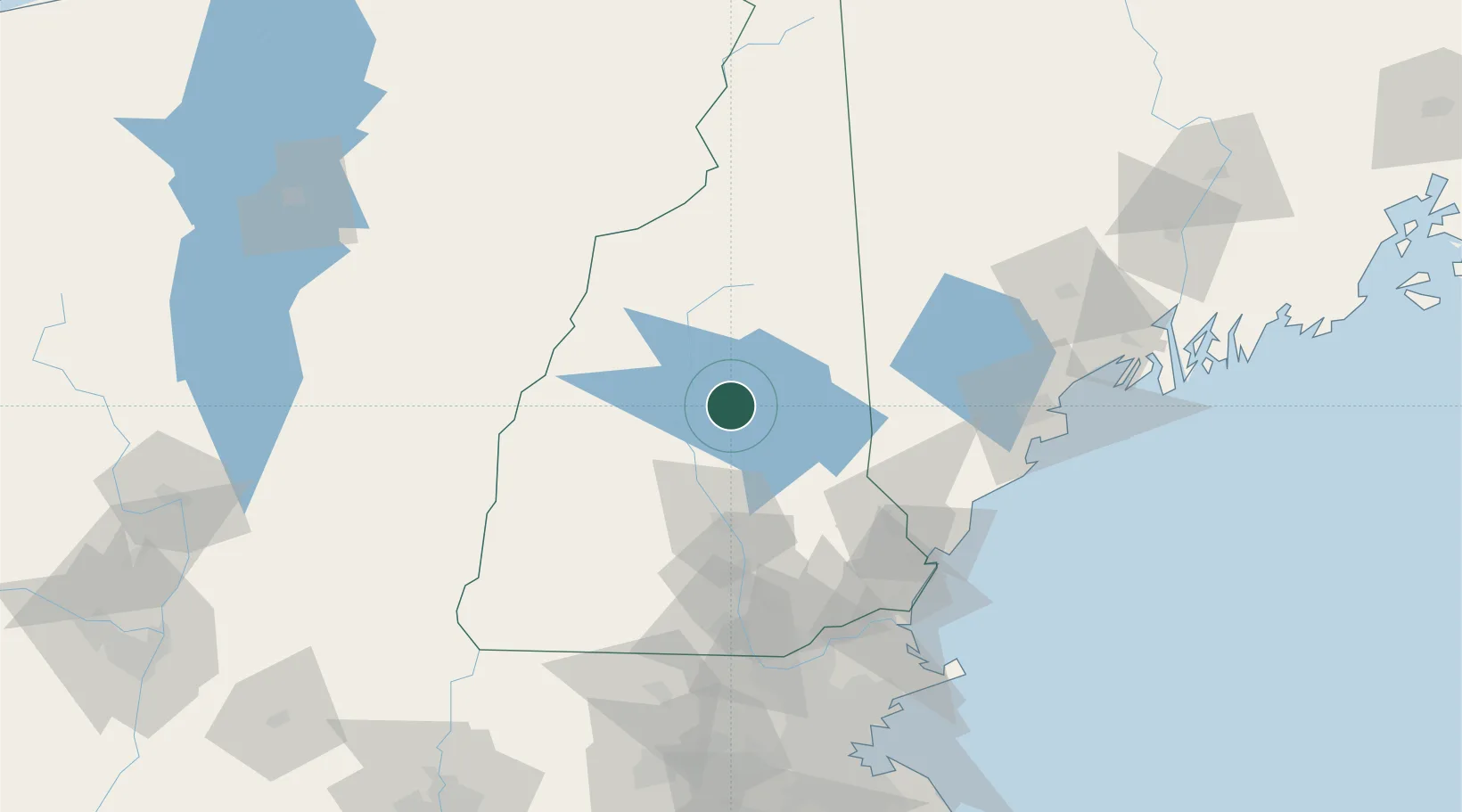
Meredith
43.6667°, -71.5000°
1,718
Population
3
Transport functions
Transport Functions
Port
Rail
Road
Hub Profile
Place type
Populated place
Region
New Hampshire
Population
1,718
Time zone
America/New_York
Elevation
158 m
Location
Nearby Logistics Neighbours
Cities
- 1Ashland10 km
- 2Gilford15 km
- 3Mirror Lake20 km
- 4Sanbornton21 km
- 5Campton23 km
Ports
- 1Saco87 km
- 2Portsmouth89 km
- 3Kennebunkport90 km
- 4Portland101 km
- 5Newburyport108 km
Airports
Trade Zones
- 1FTZ No. 081 Portsmouth86 km
- 2FTZ No. 263 Auburn114 km
- 3FTZ No. 268 Brattleboro126 km
- 4FTZ No. 027 Boston154 km
- 5FTZ No. 186 Waterville174 km
DatabookThe Record of Consolidated Knowledge
United States beyond logistics?