UN/LOCODE hub · United States
USWFB
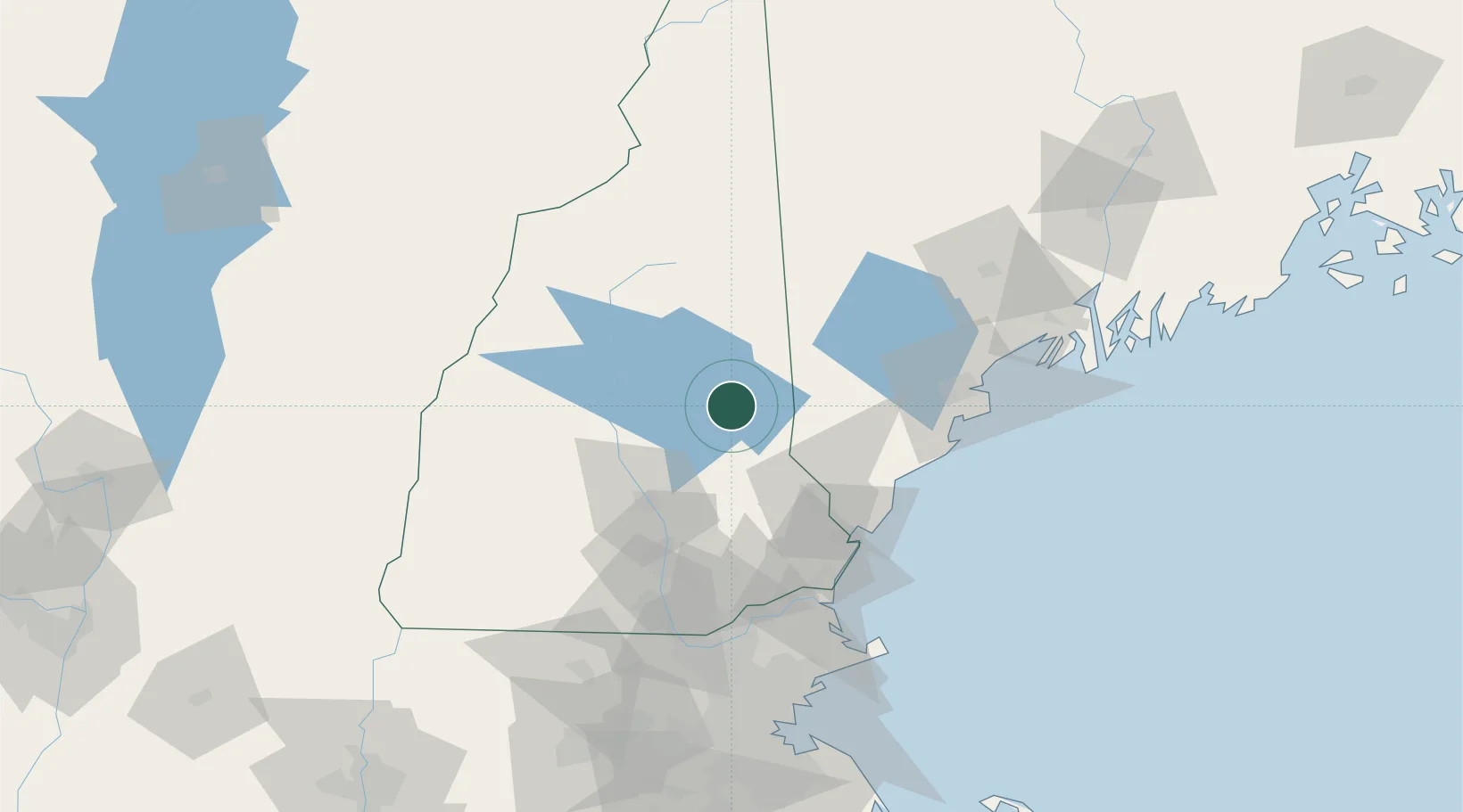
Wolfeboro
43.5833°, -71.2000°
2,838
Population
2
Transport functions
Transport Functions
Port
Road
Hub Profile
Place type
Populated place
Region
New Hampshire
Population
2,838
Time zone
America/New_York
Elevation
170 m
Location
Nearby Logistics Neighbours
Cities
- 1Mirror Lake7 km
- 2Sanbornville14 km
- 3Gilford18 km
- 4Farmington25 km
- 5Meredith26 km
Ports
- 1Saco61 km
- 2Kennebunkport64 km
- 3Portsmouth67 km
- 4Portland77 km
- 5Newburyport89 km
Airports
Trade Zones
- 1FTZ No. 081 Portsmouth65 km
- 2FTZ No. 263 Auburn98 km
- 3FTZ No. 268 Brattleboro139 km
- 4FTZ No. 027 Boston141 km
- 5FTZ No. 186 Waterville161 km
DatabookThe Record of Consolidated Knowledge
United States beyond logistics?