Transport Functions
Rail
Road
Multimodal
Hub Profile
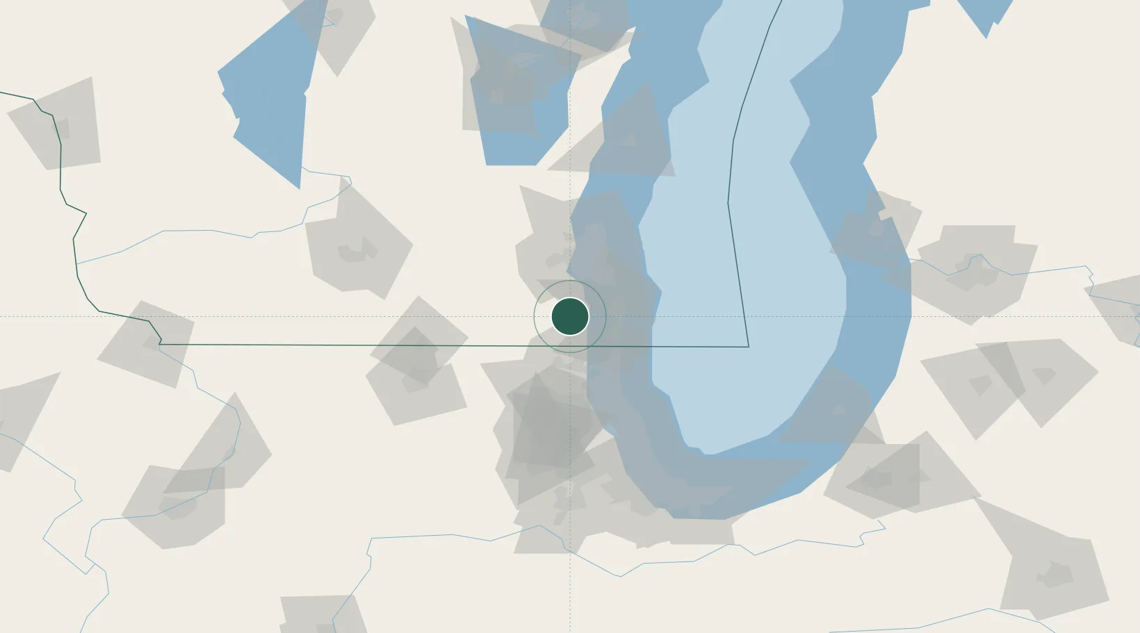
Place type
Populated place
Region
Wisconsin
Time zone
America/Chicago
Elevation
250 m
Location
Nearby Logistics Neighbours
Cities
- 1Raymond15 km
- 2Honey Creek17 km
- 3Caledonia21 km
- 4Pleasant Prairie21 km
- 5Muskego24 km
Ports
- 1Kenosha27 km
- 2Racine28 km
- 3Waukegan43 km
- 4Milwaukee43 km
- 5Great Lakes49 km
Airports
Trade Zones
- 1FTZ No. 041 Milwaukee42 km
- 2FTZ No. 292 Lake County44 km
- 3FTZ No. 022 Chicago97 km
- 4FTZ No. 176 Rockford102 km
- 5FTZ No. 019 Omaha130 km
DatabookThe Record of Consolidated Knowledge
United States beyond logistics?