Medium airport · United States
Ottumwa Regional AirportKOTM
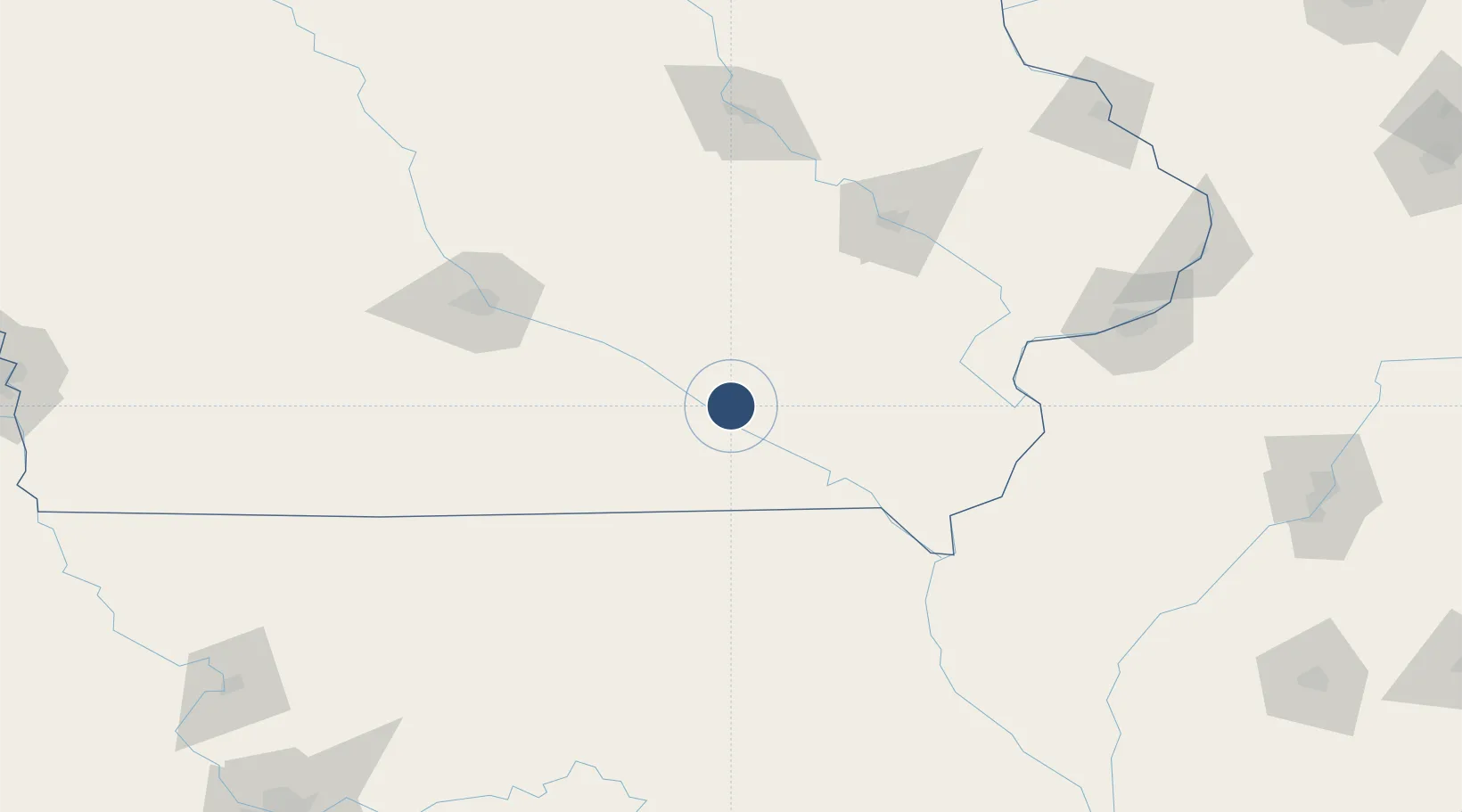
41.1064°, -92.4498°
6,001 ft
Longest runway
2
Runways
845 ft
Elevation
Runway & Layout

Radio Frequencies
ASOS
124.175 MHz
CNTR
118.15 MHz
CHICAGO CNTR
RDO
122.4 MHz
FORT DODGE RDO
UNIC
123 MHz
CTAF/UNICOM
Navaids
OTM VOR-DME Ottumwa 111.60 MHz
Runways · 2
| Runway | Dimensions | Surface | True heading | Lit |
|---|---|---|---|---|
| 13/31 | 6,001 × 100ft | Asphalt / concrete | 135° | ✓ |
| 04/22 | 4,601 × 100ft | Asphalt | 045° | ✓ |
Airport Specifications
IATA code
OTM
ICAO code
KOTM
Airport class
Medium airport
Scheduled service
No
Runway surface
Asphalt / concrete
Served city
Ottumwa
Location
Nearby Logistics Neighbours
Airports
- 1The Eastern Iowa Airport106 km
- 2Des Moines International Airport111 km
- 3Kirksville Regional Airport113 km
- 4Southeast Iowa Regional Airport117 km
- 5Waterloo Regional Airport161 km
Ports
- 1Great Lakes406 km
- 2Waukegan409 km
- 3Wilmette411 km
- 4Chicago413 km
- 5Calumet Harbor417 km
Trade Zones
- 1FTZ No. 175 Cedar Rapids110 km
- 2FTZ No. 055 Burlington118 km
- 3FTZ No. 107 Polk County123 km
- 4FTZ No. 271 Jo-Daviess and Carroll Counties227 km
- 5FTZ No. 114 Peoria245 km
DatabookThe Record of Consolidated Knowledge
United States beyond logistics?