UN/LOCODE hub · United States
USHW5
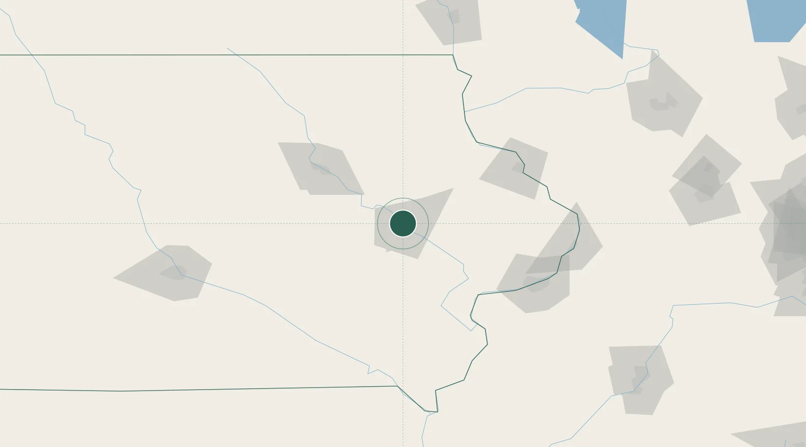
Hiawatha
42.0333°, -91.6833°
7,199
Population
3
Transport functions
Transport Functions
Rail
Road
Multimodal
Hub Profile
Place type
Populated place
Region
Iowa
Population
7,199
Time zone
America/Chicago
Elevation
258 m
Location
Nearby Logistics Neighbours
Cities
- 1Walford21 km
- 2Norway24 km
- 3Lisbon28 km
- 4Blairstown36 km
- 5Rowley39 km
Ports
- 1Great Lakes319 km
- 2Waukegan321 km
- 3Kenosha324 km
- 4Racine330 km
- 5Wilmette330 km
Airports
- 1The Eastern Iowa Airport17 km
- 2Waterloo Regional Airport83 km
- 3Dubuque Regional Airport90 km
- 4Quad City International Airport117 km
- 5Ottumwa Regional Airport121 km
Trade Zones
- 1FTZ No. 175 Cedar Rapids13 km
- 2FTZ No. 271 Jo-Daviess and Carroll Counties123 km
- 3FTZ No. 055 Burlington144 km
- 4FTZ No. 107 Polk County173 km
- 5FTZ No. 266 Dane County199 km
DatabookThe Record of Consolidated Knowledge
United States beyond logistics?