Transport Functions
Port
Rail
Road
Multimodal
Hub Profile
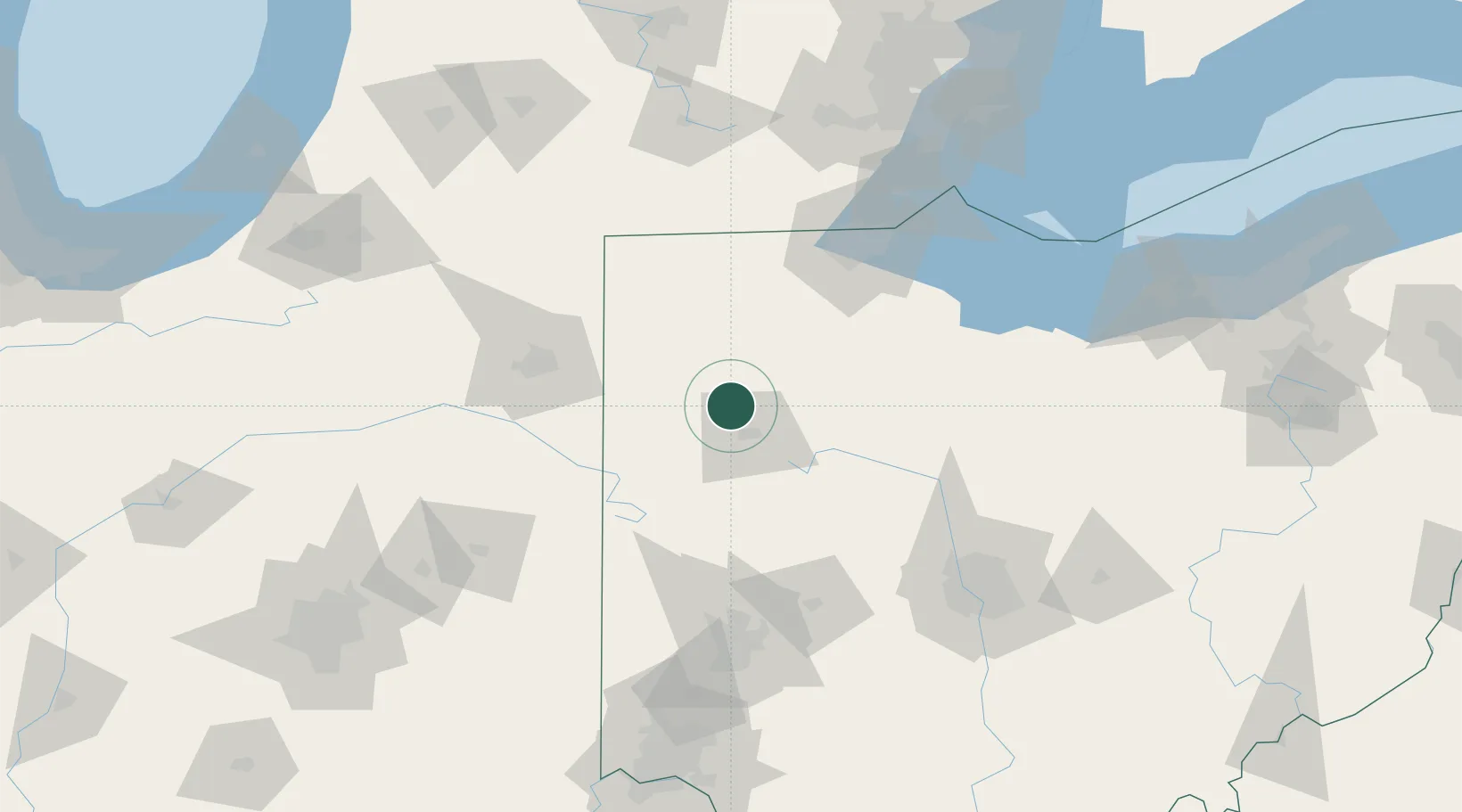
Place type
Populated place
Region
Ohio
Time zone
America/New_York
Elevation
228 m
Location
Nearby Logistics Neighbours
Cities
- 1Columbus Grove12 km
- 2Ottoville13 km
- 3Spencerville24 km
- 4Lafayette26 km
- 5Oakwood, Paulding27 km
Ports
- 1Toledo110 km
- 2Port Clinton127 km
- 3Monroe133 km
- 4Sandusky139 km
- 5Put In Bay144 km
Airports
Trade Zones
- 1FTZ No. 151 Findlay45 km
- 2FTZ No. 182 Fort Wayne94 km
- 3FTZ No. 008 Toledo102 km
- 4FTZ No. 100 Dayton121 km
- 5FTZ No. 138 Franklin County160 km
DatabookThe Record of Consolidated Knowledge
United States beyond logistics?