Medium airport · United States
Fort Wayne International AirportKFWA
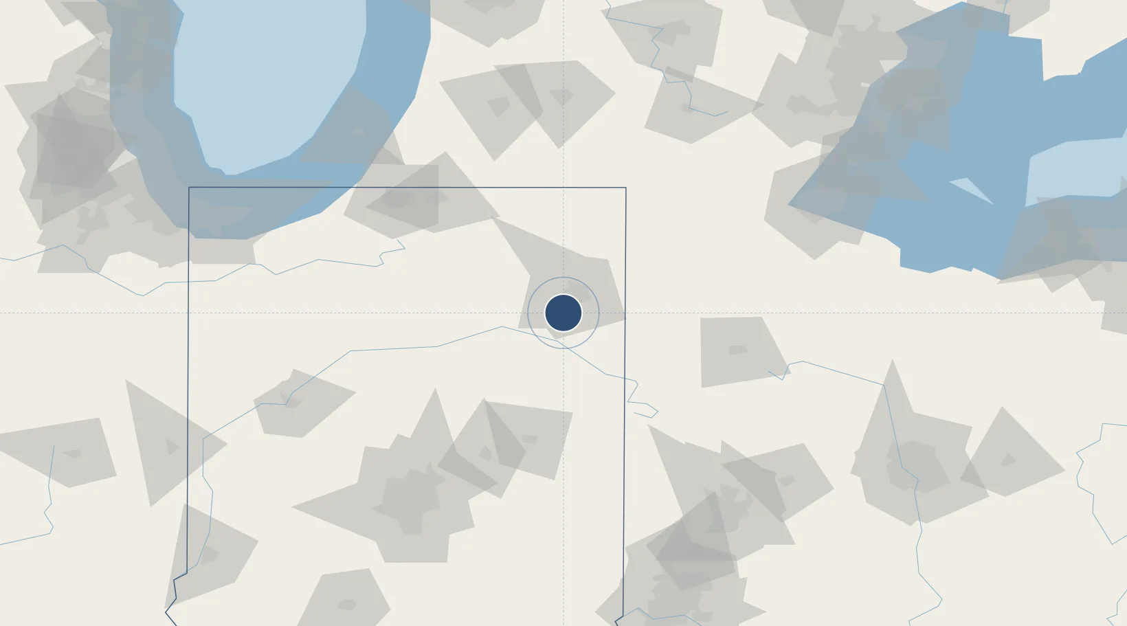
40.9789°, -85.1945°
11,981 ft
Longest runway
3
Runways
814 ft
Elevation
Runway & Layout

Radio Frequencies
ATIS
121.25 MHz
TWR
119.1 MHz
GND
121.9 MHz
CLD
124.75 MHz
CLNC DEL
A/D
127.2 MHz
APP/DEP SW/NW OF ACT RWY
A/D
132.15 MHz
SE/NE OF ACTIVE RWY
A/D
135.325 MHz
FORT WAYNE A/D
OPS
138.4 MHz
122FW COMD POST OPS
RDO
122.2 MHz
TERRE HAUTE RDO
UNIC
122.95 MHz
UNICOM
Navaids
FW NDB Hoagy 251 kHz
FWA VORTAC Fort Wayne 117.80 MHz
Runways · 3
| Runway | Dimensions | Surface | True heading | Lit |
|---|---|---|---|---|
| 05/23 | 11,981 × 150ft | Asphalt / concrete | 044° | ✓ |
| 14/32 | 8,002 × 150ft | Asphalt / concrete | 135° | ✓ |
| 09/27 | 4,001 × 75ft | Asphalt / concrete | 090° | — |
Airport Specifications
IATA code
FWA
ICAO code
KFWA
Airport class
Medium airport
Scheduled service
Yes
Runway surface
Asphalt / concrete
Served city
Fort Wayne
Location
Nearby Logistics Neighbours
Airports
Cities
- 1Yoder6 km
- 2Arcola16 km
- 3Hoagland17 km
- 4New Haven19 km
- 5Churubusco28 km
Ports
- 1Toledo165 km
- 2Michigan City165 km
- 3St Joseph166 km
- 4South Haven182 km
- 5Monroe185 km
Trade Zones
- 1FTZ No. 182 Fort Wayne14 km
- 2FTZ No. 125 South Bend123 km
- 3FTZ No. 151 Findlay125 km
- 4FTZ No. 043 Battle Creek151 km
- 5FTZ No. 100 Dayton152 km
DatabookThe Record of Consolidated Knowledge
United States beyond logistics?