Transport Functions
Rail
Road
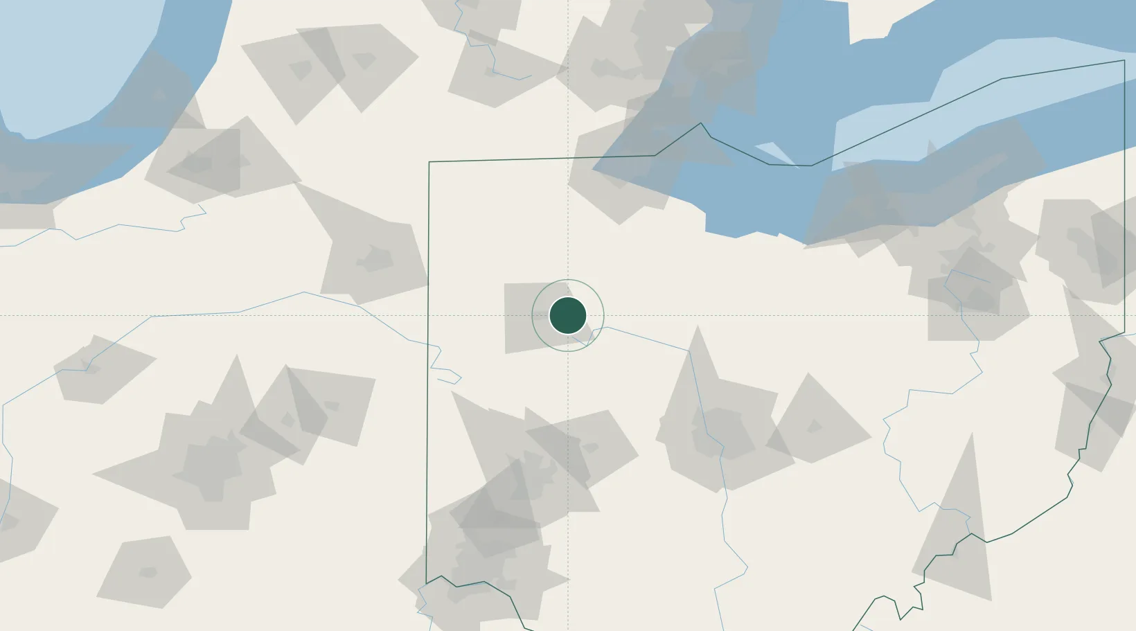
Hub Profile
Place type
Populated place
Region
Ohio
Population
428
Time zone
America/New_York
Elevation
283 m
Location
Nearby Logistics Neighbours
Cities
- 1Ada11 km
- 2Columbus Grove21 km
- 3Rimer26 km
- 4Dunkirk27 km
- 5Spencerville34 km
Ports
- 1Toledo113 km
- 2Port Clinton121 km
- 3Sandusky129 km
- 4Monroe136 km
- 5Huron138 km
Airports
Trade Zones
- 1FTZ No. 151 Findlay38 km
- 2FTZ No. 008 Toledo106 km
- 3FTZ No. 100 Dayton110 km
- 4FTZ No. 182 Fort Wayne119 km
- 5FTZ No. 138 Franklin County135 km
DatabookThe Record of Consolidated Knowledge
United States beyond logistics?