Foreign Trade Zone · United States

FTZ No. 008 Toledo Active
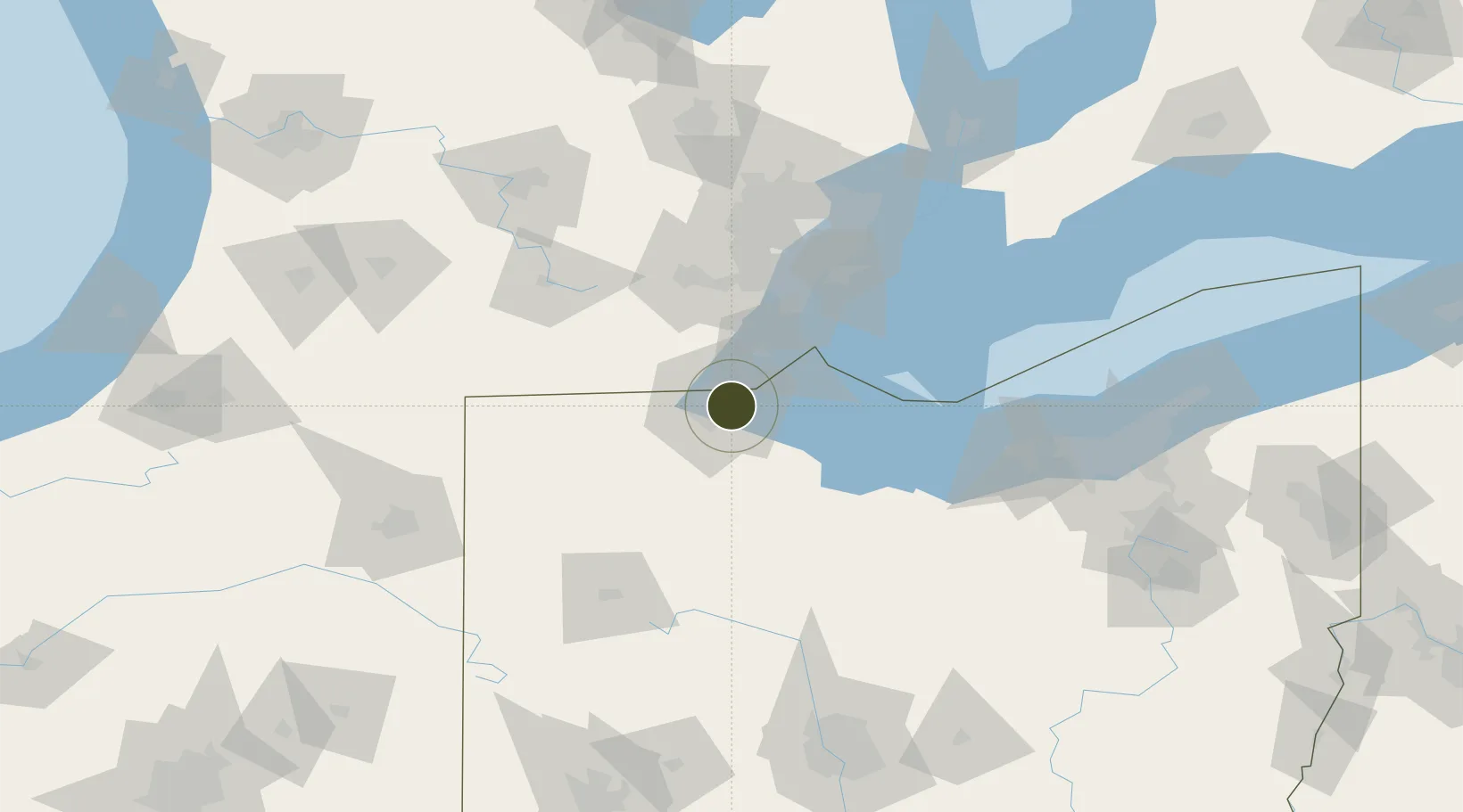
41.6538°, -83.5307°
7.4 km
Nearest port
24.2 km
Nearest airport

Gateway access

Nearest neighbours — logibook spatial index (haversine) over the source coordinates

Zone profile

Zone type
Foreign Trade Zone
Open Zone Map
Region
Ohio
Open Zone Map
Status
Active
Open Zone Map
Management
Public
Open Zone Map
Operator
Toledo-Lucas County Port Authority
Open Zone Map
Legal framework
Foreign-Trade Zones Act
Open Zone Map

Location

Location of ozm-4739
Natural Earth 10m (public domain) · Ohio · ozm-4739 · 41.65, -83.53GoogleOSMYandex

Nearby Logistics Neighbours

Ports
  1. 1Toledo7 km
  2. 2Monroe30 km
  3. 3Port Clinton52 km
  4. 4Put In Bay59 km
  5. 5Amherstburg61 km
Nearest neighbours — logibook spatial index (haversine) over the source coordinates
Airports
  1. 1Eugene F. Kranz Toledo Express Airport24 km
  2. 2Erie-Ottawa International Airport57 km
  3. 3Detroit Metropolitan Wayne County Airport64 km
  4. 4Willow Run Airport65 km
  5. 5Kelleys Island Land Field70 km
Nearest neighbours — logibook spatial index (haversine) over the source coordinates
Cities
  1. 1Oregon5 km
  2. 2Northwood, Wood8 km
  3. 3Walbridge9 km
  4. 4Toledo9 km
  5. 5Lambertville13 km
Nearest neighbours — logibook spatial index (haversine) over the source coordinates
Trade Zones
  1. 1FTZ No. 151 Findlay70 km
  2. 2FTZ No. 070 Detroit81 km
  3. 3Windsor - Essex Foreign Trade Zone85 km
  4. 4FTZ No. 040 Cleveland141 km
  5. 5FTZ No. 140 Flint152 km
Nearest neighbours — logibook spatial index (haversine) over the source coordinates
DatabookThe Record of Consolidated Knowledge
United States beyond logistics?
Browse databook

All Sources

Trade ZonesOpen Zone Map
CC BY
Portsthe NGA World Port Index
Public domain (US gov)
AirportsOurAirports
Public domain
LocationsUN/LOCODE
UN/LOCODE — free
← United States trade zones