Seaport · United States

ToledoUSTOL

41.7000°, -83.4667°
7.9 m
Channel depth
Toledo is also a UN/LOCODE logistics hub →

Channel & Berth Profile

SEA LEVEL (CD)CHANNEL BEDAnchorage · 6.4 mOil terminal · 6.4 mChannel · 7.9 mCargo pier · 7.9 m
NGA World Port Index

Pilotage, Tugs & Services

Pilotage compulsoryYES
Tug assistanceYES
Salvage tugsNO
Shore powerYES
Potable waterYES
Diesel bunkersYES
MedicalYES
NGA World Port Index

Facilities & Capabilities

Container
Ro-Ro
Liquid bulk
Dry bulk
Oil terminal
Break bulk
Dry dockNO
RepairsNO
BunkeringYES
Rail linkYES
Dangerous cargo
ISPS security
NGA World Port Index

Harbour Specifications

Harbour size
Medium
NGA World Port Index
Harbour type
River (Natural)
NGA World Port Index
Shelter
Excellent
NGA World Port Index
Water body
Lake Erie; Great Lakes
NGA World Port Index
Overhead limit
Yes
NGA World Port Index
Pilotage
Yes
NGA World Port Index

Location

Location of USTOL
Natural Earth 10m (public domain) · Ohio · USTOL · 41.70, -83.47GoogleOSMYandex

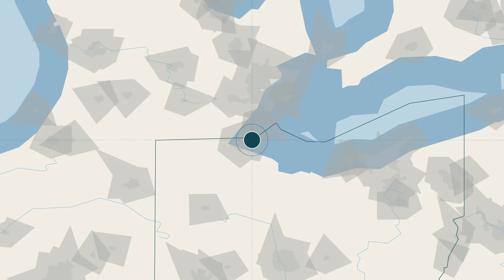
Nearby Logistics Neighbours

Ports
  1. 1Monroe23 km
  2. 2Port Clinton49 km
  3. 3Amherstburg54 km
  4. 4Trenton54 km
  5. 5Put In Bay54 km
Nearest neighbours — logibook spatial index (haversine) over the source coordinates
Cities
  1. 1Oregon8 km
  2. 2Northwood, Wood11 km
  3. 3Erie12 km
  4. 4Walbridge13 km
  5. 5Lambertville14 km
Nearest neighbours — logibook spatial index (haversine) over the source coordinates
Airports
  1. 1Eugene F. Kranz Toledo Express Airport31 km
  2. 2Erie-Ottawa International Airport54 km
  3. 3Detroit Metropolitan Wayne County Airport58 km
  4. 4Willow Run Airport60 km
  5. 5Kelleys Island Land Field66 km
Nearest neighbours — logibook spatial index (haversine) over the source coordinates
Trade Zones
  1. 1FTZ No. 008 Toledo7 km
  2. 2FTZ No. 070 Detroit75 km
  3. 3FTZ No. 151 Findlay76 km
  4. 4Windsor - Essex Foreign Trade Zone78 km
  5. 5FTZ No. 040 Cleveland137 km
Nearest neighbours — logibook spatial index (haversine) over the source coordinates
DatabookThe Record of Consolidated Knowledge
United States beyond logistics?
Browse databook

All Sources

Portsthe NGA World Port Index
Public domain (US gov)
AirportsOurAirports
Public domain
LocationsUN/LOCODE
UN/LOCODE — free
Trade Zonesthe World Bank SEZ database
CC BY 4.0
Trade ZonesOpen Zone Map
CC BY
← United States ports