Foreign Trade Zone · United States

FTZ No. 100 Dayton Active
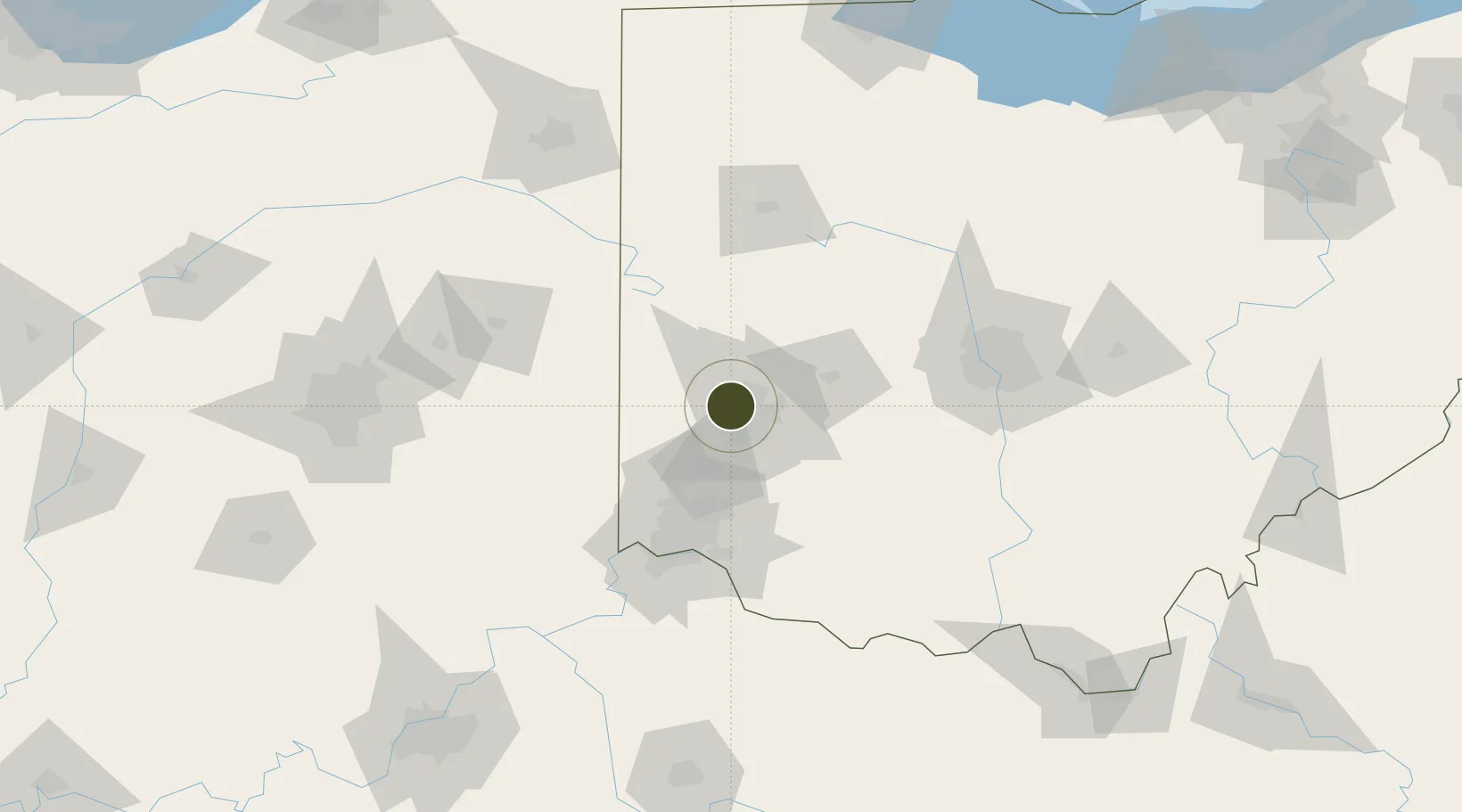
39.7973°, -84.2842°
222.5 km
Nearest port
12.9 km
Nearest airport

Gateway access

Nearest neighbours — logibook spatial index (haversine) over the source coordinates

Zone profile

Zone type
Foreign Trade Zone
Open Zone Map
Region
Ohio
Open Zone Map
Status
Active
Open Zone Map
Management
Public
Open Zone Map
Operator
Toledo-Lucas County Port Authority
Open Zone Map
Legal framework
Foreign-Trade Zones Act
Open Zone Map

Location

Location of ozm-4834
Natural Earth 10m (public domain) · Ohio · ozm-4834 · 39.80, -84.28GoogleOSMYandex

Nearby Logistics Neighbours

Ports
  1. 1Toledo223 km
  2. 2Port Clinton223 km
  3. 3Sandusky226 km
  4. 4Huron231 km
  5. 5Put In Bay240 km
Nearest neighbours — logibook spatial index (haversine) over the source coordinates
Airports
  1. 1James M. Cox Dayton International Airport13 km
  2. 2Wright-Patterson Air Force Base20 km
  3. 3Springfield-Beckley Municipal Airport38 km
  4. 4Wilmington Airpark59 km
  5. 5Cincinnati Municipal Airport Lunken Field78 km
Nearest neighbours — logibook spatial index (haversine) over the source coordinates
Cities
  1. 1Trotwood2 km
  2. 2Englewood8 km
  3. 3Brookville11 km
  4. 4Huber Heights15 km
  5. 5West Milton17 km
Nearest neighbours — logibook spatial index (haversine) over the source coordinates
Trade Zones
  1. 1FTZ No. 054 Clinton County59 km
  2. 2FTZ No. 046 CIncinnati80 km
  3. 3FTZ No. 047 Boone County106 km
  4. 4FTZ No. 138 Franklin County115 km
  5. 5FTZ No. 151 Findlay147 km
Nearest neighbours — logibook spatial index (haversine) over the source coordinates
DatabookThe Record of Consolidated Knowledge
United States beyond logistics?
Browse databook

All Sources

Trade ZonesOpen Zone Map
CC BY
Portsthe NGA World Port Index
Public domain (US gov)
AirportsOurAirports
Public domain
LocationsUN/LOCODE
UN/LOCODE — free
← United States trade zones