Foreign Trade Zone · United States

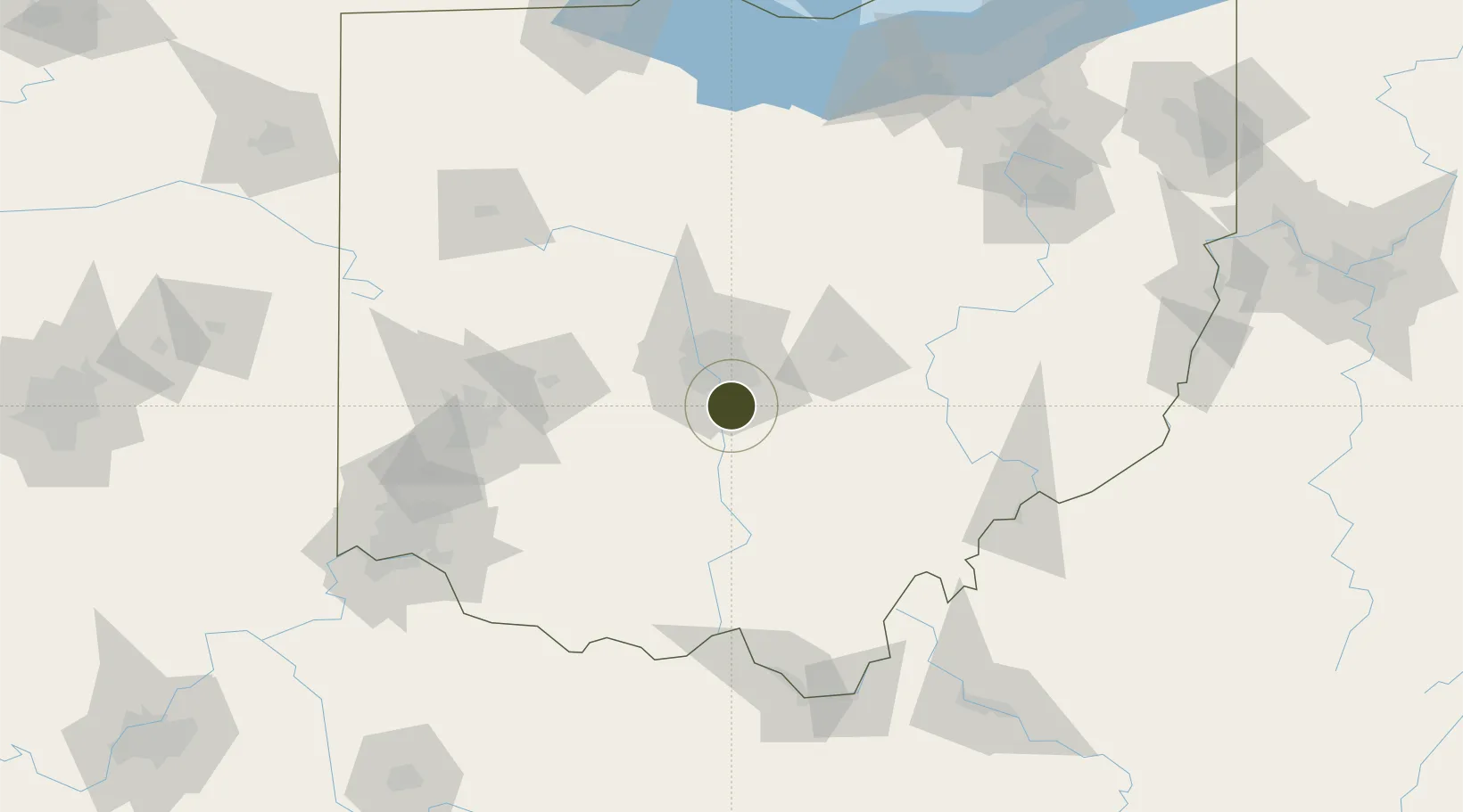
FTZ No. 138 Franklin County Active

39.8169°, -82.9371°
179.0 km
Nearest port
0.9 km
Nearest airport

Gateway access

Nearest neighbours — logibook spatial index (haversine) over the source coordinates

Zone profile

Zone type
Foreign Trade Zone
Open Zone Map
Region
Ohio
Open Zone Map
Status
Active
Open Zone Map
Management
Public
Open Zone Map
Operator
Columbus Regional Airport Authority
Open Zone Map
Legal framework
Foreign-Trade Zones Act
Open Zone Map

Location

Location of ozm-4829
Natural Earth 10m (public domain) · Ohio · ozm-4829 · 39.82, -82.94GoogleOSMYandex

Nearby Logistics Neighbours

Ports
  1. 1Huron179 km
  2. 2Sandusky183 km
  3. 3Vermilion186 km
  4. 4Port Clinton189 km
  5. 5Lorain194 km
Nearest neighbours — logibook spatial index (haversine) over the source coordinates
Airports
  1. 1Rickenbacker International Airport1 km
  2. 2John Glenn Columbus International Airport21 km
  3. 3The Ohio State University Airport - Don Scott Field32 km
  4. 4Springfield-Beckley Municipal Airport77 km
  5. 5Wilmington Airpark85 km
Nearest neighbours — logibook spatial index (haversine) over the source coordinates
Cities
  1. 1Urbancrest16 km
  2. 2Rickenbacker International Apt21 km
  3. 3Blacklick22 km
  4. 4Carroll23 km
  5. 5Etna26 km
Nearest neighbours — logibook spatial index (haversine) over the source coordinates
Trade Zones
  1. 1FTZ No. 054 Clinton County85 km
  2. 2FTZ No. 100 Dayton115 km
  3. 3FTZ No. 151 Findlay151 km
  4. 4FTZ No. 046 CIncinnati157 km
  5. 5FTZ No. 181 Akron Canton162 km
Nearest neighbours — logibook spatial index (haversine) over the source coordinates
DatabookThe Record of Consolidated Knowledge
United States beyond logistics?
Browse databook

All Sources

Trade ZonesOpen Zone Map
CC BY
Portsthe NGA World Port Index
Public domain (US gov)
AirportsOurAirports
Public domain
LocationsUN/LOCODE
UN/LOCODE — free
← United States trade zones