Foreign Trade Zone · United States

FTZ No. 151 Findlay Inactive
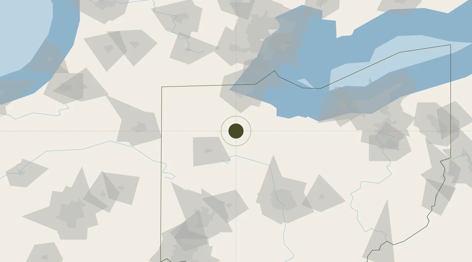
41.0413°, -83.7039°
75.9 km
Nearest port
4.3 km
Nearest airport

Gateway access

Nearest neighbours — logibook spatial index (haversine) over the source coordinates

Zone profile

Zone type
Foreign Trade Zone
Open Zone Map
Region
Ohio
Open Zone Map
Status
Inactive
Open Zone Map
Management
Public
Open Zone Map
Operator
Findlay / Hancock County Chamber of Commerce
Open Zone Map
Legal framework
Foreign-Trade Zones Act
Open Zone Map

Location

Location of ozm-4806
Natural Earth 10m (public domain) · Ohio · ozm-4806 · 41.04, -83.70GoogleOSMYandex

Nearby Logistics Neighbours

Ports
  1. 1Toledo76 km
  2. 2Port Clinton83 km
  3. 3Sandusky94 km
  4. 4Monroe99 km
  5. 5Put In Bay100 km
Nearest neighbours — logibook spatial index (haversine) over the source coordinates
Airports
  1. 1Findlay Airport4 km
  2. 2Eugene F. Kranz Toledo Express Airport61 km
  3. 3Erie-Ottawa International Airport88 km
  4. 4Mansfield Lahm Regional Airport103 km
  5. 5Kelleys Island Land Field105 km
Nearest neighbours — logibook spatial index (haversine) over the source coordinates
Cities
  1. 1McCombs9 km
  2. 2New Britain16 km
  3. 3North Baltimore16 km
  4. 4Deshler23 km
  5. 5Custar29 km
Nearest neighbours — logibook spatial index (haversine) over the source coordinates
Trade Zones
  1. 1FTZ No. 008 Toledo70 km
  2. 2FTZ No. 182 Fort Wayne133 km
  3. 3FTZ No. 100 Dayton147 km
  4. 4FTZ No. 138 Franklin County151 km
  5. 5FTZ No. 070 Detroit151 km
Nearest neighbours — logibook spatial index (haversine) over the source coordinates
DatabookThe Record of Consolidated Knowledge
United States beyond logistics?
Browse databook

All Sources

Trade ZonesOpen Zone Map
CC BY
Portsthe NGA World Port Index
Public domain (US gov)
AirportsOurAirports
Public domain
LocationsUN/LOCODE
UN/LOCODE — free
← United States trade zones