Foreign Trade Zone · United States

FTZ No. 182 Fort Wayne Active
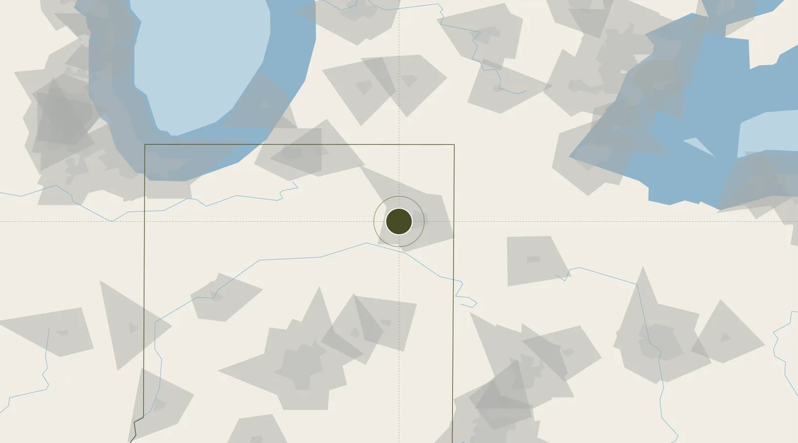
41.0825°, -85.2910°
151.8 km
Nearest port
14.1 km
Nearest airport

Gateway access

Nearest neighbours — logibook spatial index (haversine) over the source coordinates

Zone profile

Zone type
Foreign Trade Zone
Open Zone Map
Region
Indiana
Open Zone Map
Status
Active
Open Zone Map
Management
Public
Open Zone Map
Operator
City of Fort Wayne
Open Zone Map
Legal framework
Foreign-Trade Zones Act
Open Zone Map

Location

Location of ozm-4827
Natural Earth 10m (public domain) · Indiana · ozm-4827 · 41.08, -85.29GoogleOSMYandex

Nearby Logistics Neighbours

Ports
  1. 1St Joseph152 km
  2. 2Michigan City153 km
  3. 3Toledo167 km
  4. 4South Haven168 km
  5. 5Gary181 km
Nearest neighbours — logibook spatial index (haversine) over the source coordinates
Airports
  1. 1Fort Wayne International Airport14 km
  2. 2Grissom Air Reserve Base87 km
  3. 3Delaware County Johnson Field94 km
  4. 4South Bend International Airport110 km
  5. 5Kalamazoo/Battle Creek International Airport130 km
Nearest neighbours — logibook spatial index (haversine) over the source coordinates
Cities
  1. 1Arcola2 km
  2. 2Churubusco15 km
  3. 3Yoder20 km
  4. 4New Haven25 km
  5. 5Hoagland29 km
Nearest neighbours — logibook spatial index (haversine) over the source coordinates
Trade Zones
  1. 1FTZ No. 125 South Bend110 km
  2. 2FTZ No. 151 Findlay133 km
  3. 3FTZ No. 043 Battle Creek140 km
  4. 4FTZ No. 008 Toledo160 km
  5. 5FTZ No. 100 Dayton166 km
Nearest neighbours — logibook spatial index (haversine) over the source coordinates
DatabookThe Record of Consolidated Knowledge
United States beyond logistics?
Browse databook

All Sources

Trade ZonesOpen Zone Map
CC BY
Portsthe NGA World Port Index
Public domain (US gov)
AirportsOurAirports
Public domain
LocationsUN/LOCODE
UN/LOCODE — free
← United States trade zones