Transport Functions
Rail
Road
Multimodal
Hub Profile
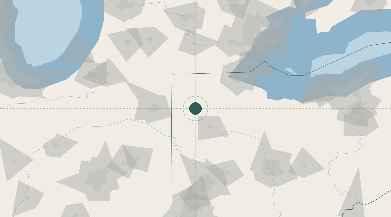
Region
OH
Location
Nearby Logistics Neighbours
Ports
- 1Toledo103 km
- 2Monroe125 km
- 3Port Clinton130 km
- 4Put In Bay145 km
- 5Sandusky145 km
Airports
Trade Zones
- 1FTZ No. 151 Findlay57 km
- 2FTZ No. 182 Fort Wayne76 km
- 3FTZ No. 008 Toledo95 km
- 4FTZ No. 100 Dayton143 km
- 5FTZ No. 043 Battle Creek158 km
DatabookThe Record of Consolidated Knowledge
United States beyond logistics?