Medium airport · United States
James M. Cox Dayton International AirportKDAY
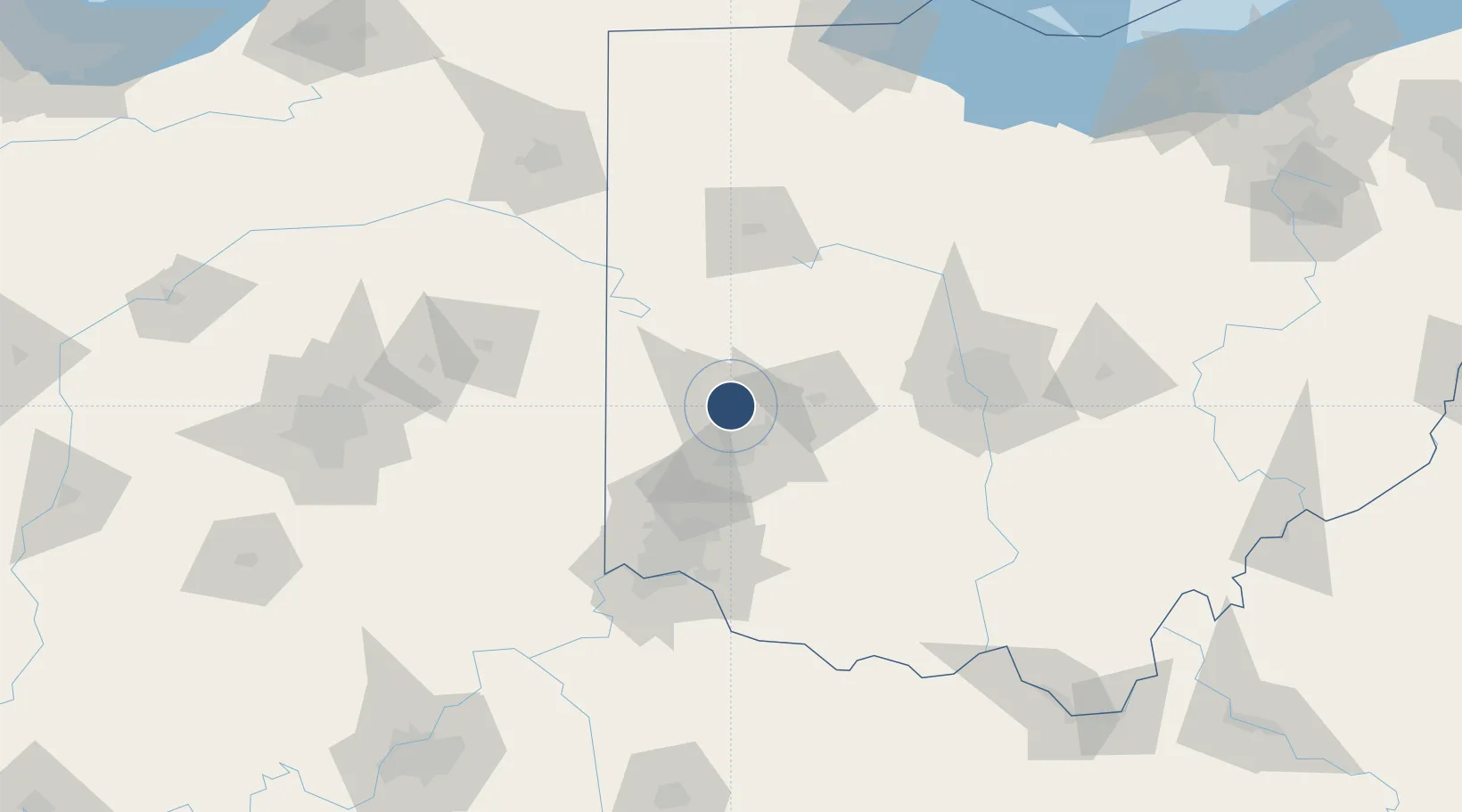
39.9024°, -84.2194°
10,901 ft
Longest runway
3
Runways
1,009 ft
Elevation
Runway & Layout

Radio Frequencies
ATIS
125.8 MHz
TWR
119.9 MHz
DAYTON TWR
GND
121.9 MHz
CLD
121.75 MHz
CLNC DEL
A/D
118 MHz
DAYTON APP/DEP
RDO
122.2 MHz
DAYTON RDO
UNIC
122.95 MHz
UNICOM
Runways · 3
| Runway | Dimensions | Surface | True heading | Lit |
|---|---|---|---|---|
| 06L/24R | 10,901 × 150ft | Asphalt / concrete | 055° | ✓ |
| 18/36 | 8,502 × 150ft | Asphalt / concrete | 178° | ✓ |
| 06R/24L | 7,285 × 150ft | Asphalt / concrete | 055° | ✓ |
Airport Specifications
IATA code
DAY
ICAO code
KDAY
Airport class
Medium airport
Scheduled service
Yes
Runway surface
Asphalt / concrete
Served city
Dayton
Location
Nearby Logistics Neighbours
Airports
Cities
- 1Englewood8 km
- 2West Milton10 km
- 3Huber Heights12 km
- 4Trotwood15 km
- 5Brookville17 km
Ports
- 1Toledo210 km
- 2Port Clinton210 km
- 3Sandusky214 km
- 4Huron218 km
- 5Put In Bay227 km
Trade Zones
- 1FTZ No. 100 Dayton13 km
- 2FTZ No. 054 Clinton County64 km
- 3FTZ No. 046 CIncinnati93 km
- 4FTZ No. 138 Franklin County110 km
- 5FTZ No. 047 Boone County119 km
DatabookThe Record of Consolidated Knowledge
United States beyond logistics?