UN/LOCODE hub · United States
USECE
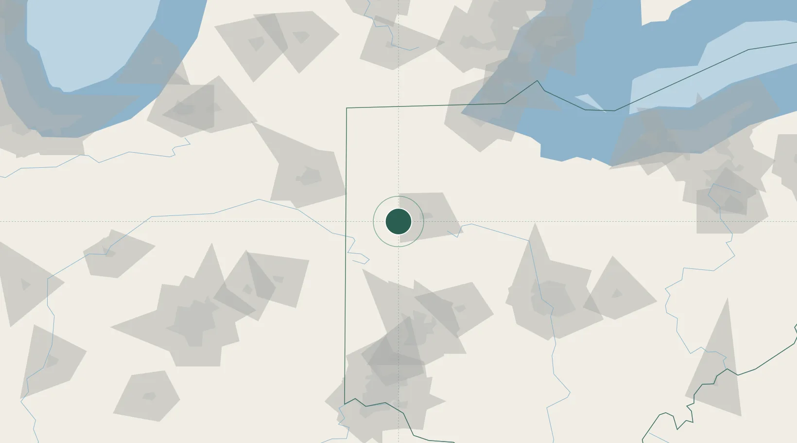
Spencerville
40.7000°, -84.3500°
2,200
Population
3
Transport functions
Transport Functions
Rail
Road
Multimodal
Hub Profile
Place type
Populated place
Region
Ohio
Population
2,200
Time zone
America/New_York
Elevation
253 m
Location
Nearby Logistics Neighbours
Cities
- 1Rimer24 km
- 2Ottoville26 km
- 3Kettlersville31 km
- 4Columbus Grove34 km
- 5Lafayette34 km
Ports
- 1Toledo134 km
- 2Port Clinton149 km
- 3Monroe157 km
- 4Sandusky160 km
- 5Put In Bay166 km
Airports
Trade Zones
- 1FTZ No. 151 Findlay66 km
- 2FTZ No. 182 Fort Wayne90 km
- 3FTZ No. 100 Dayton101 km
- 4FTZ No. 008 Toledo126 km
- 5FTZ No. 054 Clinton County149 km
DatabookThe Record of Consolidated Knowledge
United States beyond logistics?