Channel & Berth Profile
Pilotage, Tugs & Services
Pilotage compulsoryYES
Tug assistanceNO
Salvage tugsNO
Potable waterYES
Diesel bunkersYES
MedicalYES
Facilities & Capabilities
Container—
Ro-Ro—
Liquid bulk—
Dry bulk—
Oil terminal—
Break bulk—
Dry dock—
RepairsNO
BunkeringNO
Rail linkYES
Dangerous cargo—
ISPS security—
Harbour Specifications
Harbour size
Very Small
Harbour type
River (Natural)
Shelter
Excellent
Water body
Lake Erie; Great Lakes
Overhead limit
Yes
Pilotage
Yes
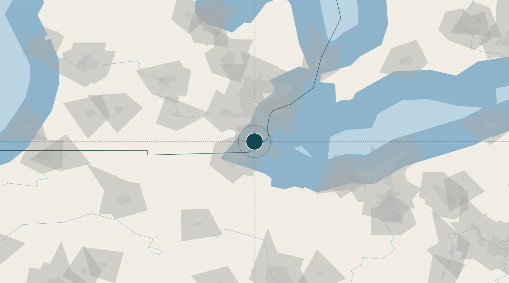
Location
Nearby Logistics Neighbours
Ports
- 1Toledo23 km
- 2Amherstburg31 km
- 3Trenton31 km
- 4Wyandotte38 km
- 5Put In Bay50 km
Cities
- 1Newport13 km
- 2Erie17 km
- 3South Rockwood21 km
- 4Rockwood22 km
- 5Gibraltar26 km
Airports
Trade Zones
- 1FTZ No. 008 Toledo30 km
- 2FTZ No. 070 Detroit53 km
- 3Windsor - Essex Foreign Trade Zone55 km
- 4FTZ No. 151 Findlay99 km
- 5FTZ No. 210 St. Clair County125 km
DatabookThe Record of Consolidated Knowledge
United States beyond logistics?