Channel & Berth Profile
Pilotage, Tugs & Services
Pilotage compulsoryYES
Tug assistanceNO
Potable waterYES
Diesel bunkersYES
MedicalYES
Facilities & Capabilities
Container—
Ro-Ro—
Liquid bulk—
Dry bulk—
Oil terminal—
Break bulk—
Dry dock—
Repairs—
BunkeringYES
Rail link—
Dangerous cargo—
ISPS security—
Harbour Specifications
Harbour size
Very Small
Harbour type
Coastal (Natural)
Shelter
Good
Water body
Lake Erie; Great Lakes
Overhead limit
No
Pilotage
Yes
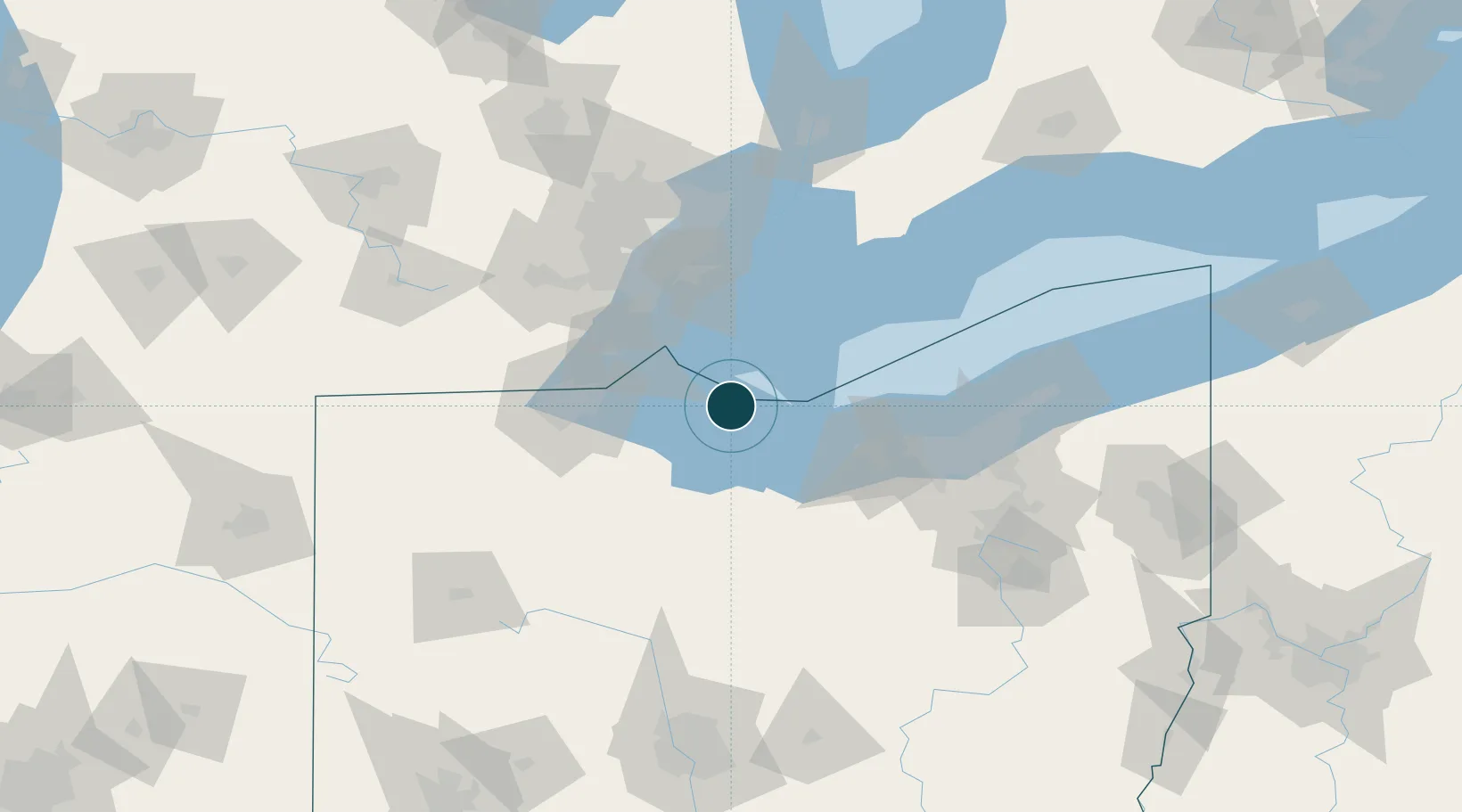
Location
Nearby Logistics Neighbours
Ports
- 1Port Clinton18 km
- 2Pelee I North Wharf22 km
- 3Sandusky24 km
- 4Huron36 km
- 5Kingsville41 km
Cities
- 1Sandusky, Erie26 km
- 2Northfield41 km
- 3Elmore44 km
- 4Vermilion47 km
- 5Genoa, Ottawa48 km
Airports
Trade Zones
- 1FTZ No. 008 Toledo59 km
- 2Windsor - Essex Foreign Trade Zone76 km
- 3FTZ No. 040 Cleveland83 km
- 4FTZ No. 070 Detroit86 km
- 5FTZ No. 151 Findlay100 km
DatabookThe Record of Consolidated Knowledge
United States beyond logistics?