Channel & Berth Profile
Pilotage, Tugs & Services
Pilotage compulsoryYES
Tug assistanceYES
Shore powerYES
Potable waterYES
Diesel bunkersYES
MedicalYES
Facilities & Capabilities
Container—
Ro-Ro—
Liquid bulk—
Dry bulk—
Oil terminal—
Break bulk—
Dry dock—
RepairsNO
Bunkering—
Rail link—
Dangerous cargo—
ISPS security—
Harbour Specifications
Harbour size
Small
Harbour type
Coastal (Natural)
Shelter
Excellent
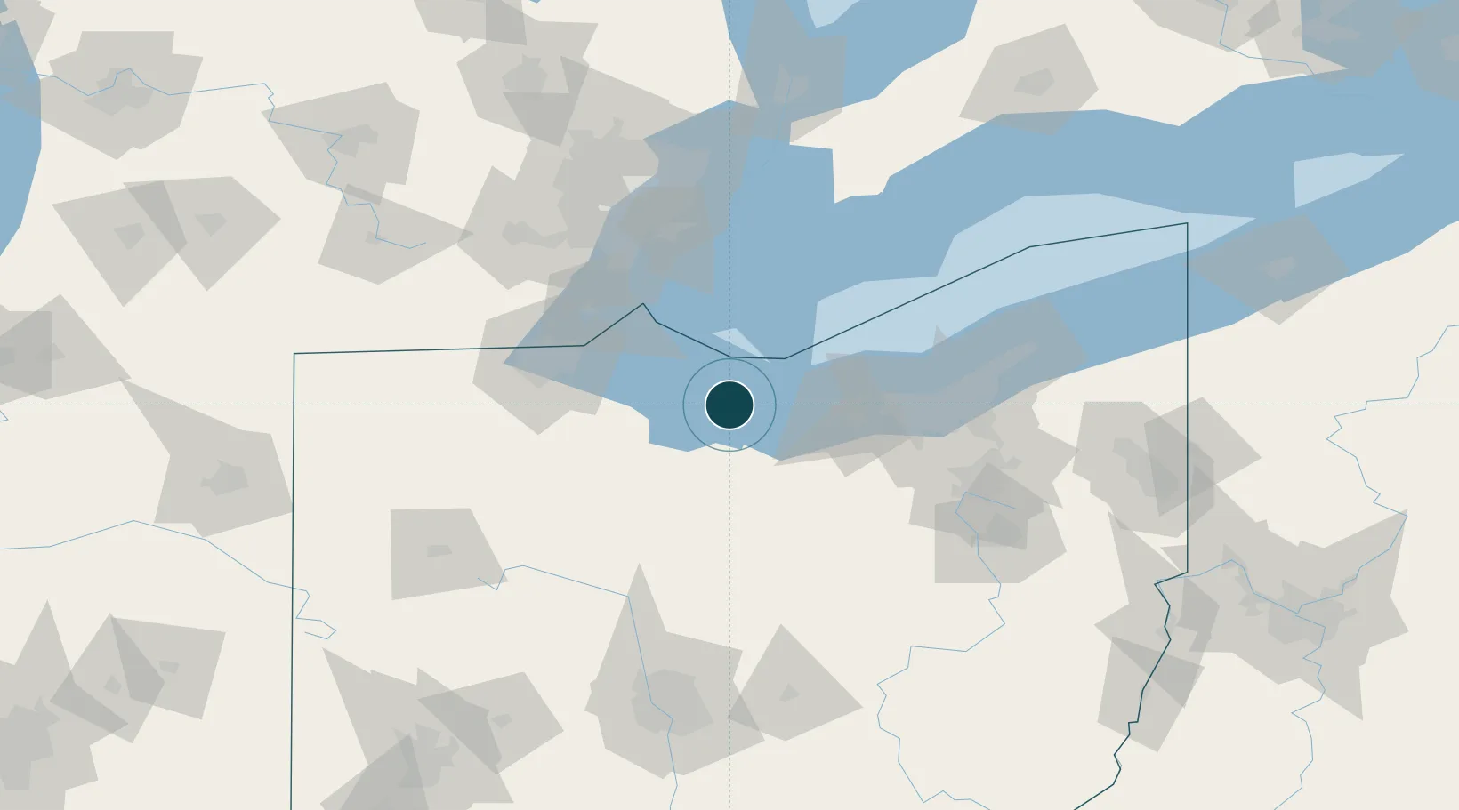
Water body
Lake Erie; Great Lakes
Overhead limit
Yes
Pilotage
Yes
Location
Nearby Logistics Neighbours
Ports
- 1Huron15 km
- 2Port Clinton20 km
- 3Put In Bay24 km
- 4Vermilion29 km
- 5Pelee I North Wharf41 km
Cities
- 1Northfield19 km
- 2Put-In-Bay24 km
- 3Vermilion31 km
- 4Birmingham34 km
- 5Wakeman36 km
Airports
Trade Zones
- 1FTZ No. 008 Toledo71 km
- 2FTZ No. 040 Cleveland73 km
- 3FTZ No. 151 Findlay94 km
- 4FTZ No. 181 Akron Canton98 km
- 5Windsor - Essex Foreign Trade Zone100 km
DatabookThe Record of Consolidated Knowledge
United States beyond logistics?