Medium airport · United States
Findlay AirportKFDY
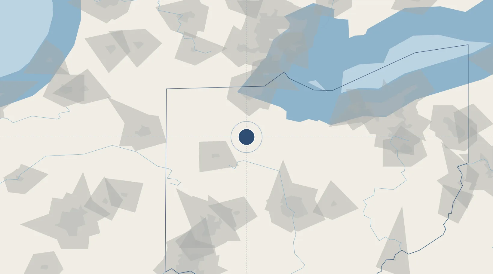
41.0135°, -83.6687°
6,499 ft
Longest runway
2
Runways
813 ft
Elevation
Runway & Layout

Radio Frequencies
ASOS
124.425 MHz
A/D
120.8 MHz
TOLEDO APP/DEP
RDO
122.2 MHz
CLEVELAND RDO
UNIC
122.725 MHz
CTAF/UNICOM
Runways · 2
| Runway | Dimensions | Surface | True heading | Lit |
|---|---|---|---|---|
| 18/36 | 6,499 × 100ft | Asphalt | 180° | ✓ |
| 07/25 | 5,883 × 100ft | Asphalt | 069° | ✓ |
Airport Specifications
IATA code
FDY
ICAO code
KFDY
Airport class
Medium airport
Scheduled service
No
Runway surface
Asphalt
Served city
Findlay
Location
Nearby Logistics Neighbours
Airports
Cities
- 1McCombs14 km
- 2North Baltimore19 km
- 3New Britain20 km
- 4Dunkirk26 km
- 5Deshler27 km
Ports
- 1Toledo78 km
- 2Port Clinton83 km
- 3Sandusky93 km
- 4Put In Bay100 km
- 5Monroe101 km
Trade Zones
- 1FTZ No. 151 Findlay4 km
- 2FTZ No. 008 Toledo72 km
- 3FTZ No. 182 Fort Wayne136 km
- 4FTZ No. 100 Dayton145 km
- 5FTZ No. 138 Franklin County147 km
DatabookThe Record of Consolidated Knowledge
United States beyond logistics?