Medium airport · United States
Eugene F. Kranz Toledo Express AirportKTOL
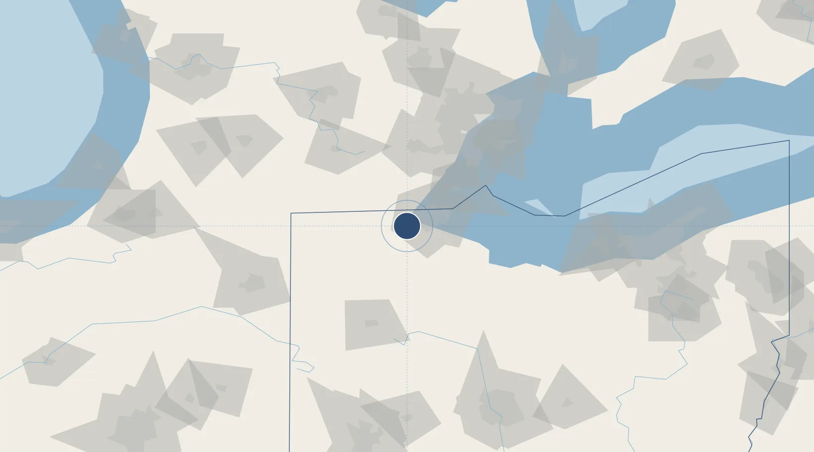
41.5868°, -83.8078°
10,600 ft
Longest runway
2
Runways
683 ft
Elevation
Runway & Layout

Radio Frequencies
ATIS
118.75 MHz
TWR
118.1 MHz
GND
121.9 MHz
CLD
121.75 MHz
CLNC DEL
A/D
123.975 MHz
APP/DEP
OPS
143.85 MHz
180 FW OPS SOF
UNIC
122.95 MHz
UNICOM
Navaids
TO NDB Tophr 219 kHz
TOL TACAN Toledo 112.50 MHz
Runways · 2
| Runway | Dimensions | Surface | True heading | Lit |
|---|---|---|---|---|
| 07/25 | 10,600 × 150ft | Asphalt | 067° | ✓ |
| 16/34 | 5,599 × 150ft | Asphalt | 157° | ✓ |
Airport Specifications
IATA code
TOL
ICAO code
KTOL
Airport class
Medium airport
Scheduled service
Yes
Runway surface
Asphalt
Served city
Toledo
Location
Nearby Logistics Neighbours
Airports
Cities
- 1Waterville12 km
- 2Toledo15 km
- 3Delta16 km
- 4Sylvania17 km
- 5Haskins18 km
Ports
- 1Toledo31 km
- 2Monroe51 km
- 3Port Clinton73 km
- 4Trenton81 km
- 5Amherstburg82 km
Trade Zones
- 1FTZ No. 008 Toledo24 km
- 2FTZ No. 151 Findlay61 km
- 3FTZ No. 070 Detroit97 km
- 4Windsor - Essex Foreign Trade Zone104 km
- 5FTZ No. 182 Fort Wayne136 km
DatabookThe Record of Consolidated Knowledge
United States beyond logistics?