UN/LOCODE hub · United States
USCGQ
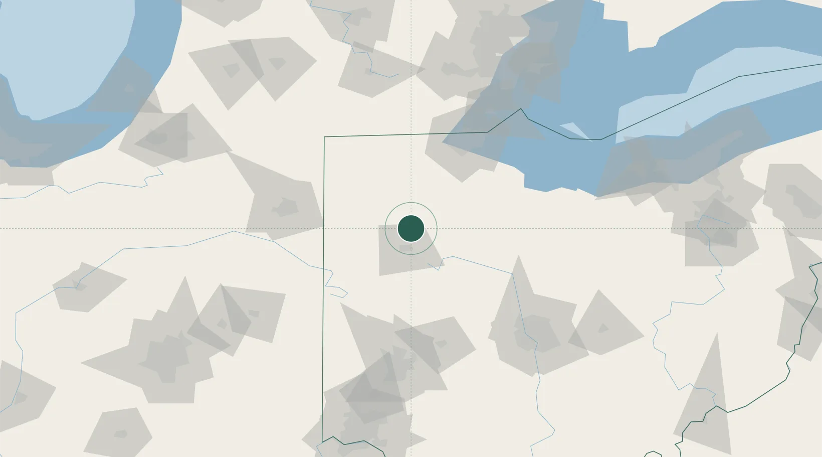
Columbus Grove
40.9167°, -84.0667°
2,063
Population
2
Transport functions
Transport Functions
Road
Multimodal
Hub Profile
Place type
Populated place
Region
Ohio
Population
2,063
Time zone
America/New_York
Elevation
236 m
Location
Nearby Logistics Neighbours
Ports
- 1Toledo101 km
- 2Port Clinton116 km
- 3Monroe124 km
- 4Sandusky128 km
- 5Put In Bay133 km
Airports
Trade Zones
- 1FTZ No. 151 Findlay34 km
- 2FTZ No. 008 Toledo93 km
- 3FTZ No. 182 Fort Wayne104 km
- 4FTZ No. 100 Dayton126 km
- 5FTZ No. 138 Franklin County155 km
DatabookThe Record of Consolidated Knowledge
United States beyond logistics?