Channel & Berth Profile
Pilotage, Tugs & Services
Pilotage compulsoryYES
Tug assistanceNO
Salvage tugsNO
Shore powerYES
Potable waterYES
Diesel bunkersYES
MedicalYES
Facilities & Capabilities
Container—
Ro-Ro—
Liquid bulk—
Dry bulk—
Oil terminal—
Break bulk—
Dry dock—
RepairsNO
BunkeringYES
Rail link—
Dangerous cargo—
ISPS security—
Harbour Specifications
Harbour size
Very Small
Harbour type
Coastal (Natural)
Shelter
Fair
Water body
Lake Michigan; Great Lakes
Overhead limit
Yes
Pilotage
Yes
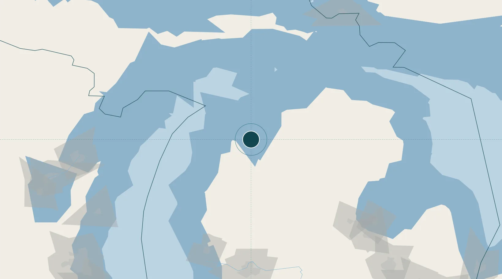
Location
Nearby Logistics Neighbours
Ports
- 1Frankfort52 km
- 2Charlevoix67 km
- 3Manistee80 km
- 4Petoskey84 km
- 5Harbor Springs89 km
Cities
- 1Grawn14 km
- 2Williamsburg17 km
- 3Suttons Bay22 km
- 4Thompsonville37 km
- 5Northport39 km
Airports
- 1Cherry Capital Airport4 km
- 2Charlevoix Municipal Airport66 km
- 3Manistee County Blacker Airport74 km
- 4Beaver Island Airport103 km
- 5Welke Airport106 km
Trade Zones
- 1FTZ No. 189 Kent Ottawa/Muskegon Counties179 km
- 2FTZ No. 019 Omaha187 km
- 3FTZ No. 016 Sault Ste. Marie213 km
- 4FTZ No. 167 Brown County214 km
- 5FTZ No. 101 Clinton County215 km
DatabookThe Record of Consolidated Knowledge
United States beyond logistics?