UN/LOCODE hub · United States
USQGH
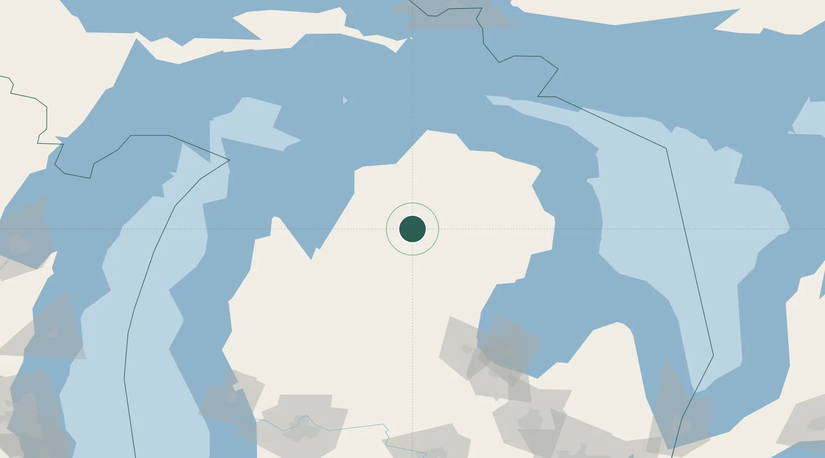
Grayling
44.6500°, -84.7000°
1,844
Population
3
Transport functions
Transport Functions
Rail
Road
Multimodal
Hub Profile
Place type
Provincial seat
Region
Michigan
Population
1,844
Time zone
America/Detroit
Elevation
347 m
Location
Nearby Logistics Neighbours
Cities
- 1Roscommon21 km
- 2Williamsburg57 km
- 3Boyne Falls60 km
- 4Lupton60 km
- 5Central Lake63 km
Ports
- 1Traverse City74 km
- 2Petoskey82 km
- 3Charlevoix87 km
- 4Harbor Springs90 km
- 5Tawas City104 km
Airports
Trade Zones
- 1FTZ No. 101 Clinton County190 km
- 2FTZ No. 284 Genesee County192 km
- 3FTZ No. 140 Flint197 km
- 4FTZ No. 189 Kent Ottawa/Muskegon Counties202 km
- 5FTZ No. 016 Sault Ste. Marie205 km
DatabookThe Record of Consolidated Knowledge
United States beyond logistics?