Transport Functions
Rail
Road
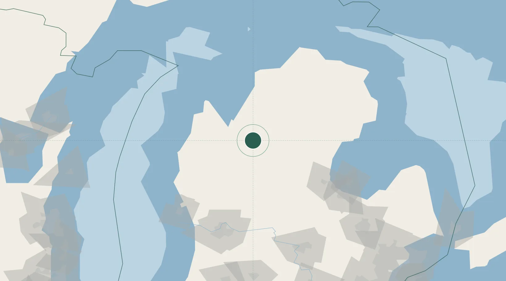
Hub Profile
Place type
Populated place
Region
Michigan
Population
661
Time zone
America/Detroit
Elevation
377 m
Location
Nearby Logistics Neighbours
Cities
- 1Evart34 km
- 2Roscommon59 km
- 3Baldwin62 km
- 4Grawn62 km
- 5Williamsburg65 km
Ports
- 1Traverse City71 km
- 2Manistee88 km
- 3Frankfort95 km
- 4Ludington102 km
- 5Charlevoix124 km
Airports
- 1Cherry Capital Airport67 km
- 2Manistee County Blacker Airport82 km
- 3MBS International Airport117 km
- 4Charlevoix Municipal Airport123 km
- 5Muskegon County Airport141 km
Trade Zones
- 1FTZ No. 189 Kent Ottawa/Muskegon Counties138 km
- 2FTZ No. 101 Clinton County145 km
- 3FTZ No. 019 Omaha159 km
- 4FTZ No. 284 Genesee County167 km
- 5FTZ No. 140 Flint176 km
DatabookThe Record of Consolidated Knowledge
United States beyond logistics?