Transport Functions
Multimodal
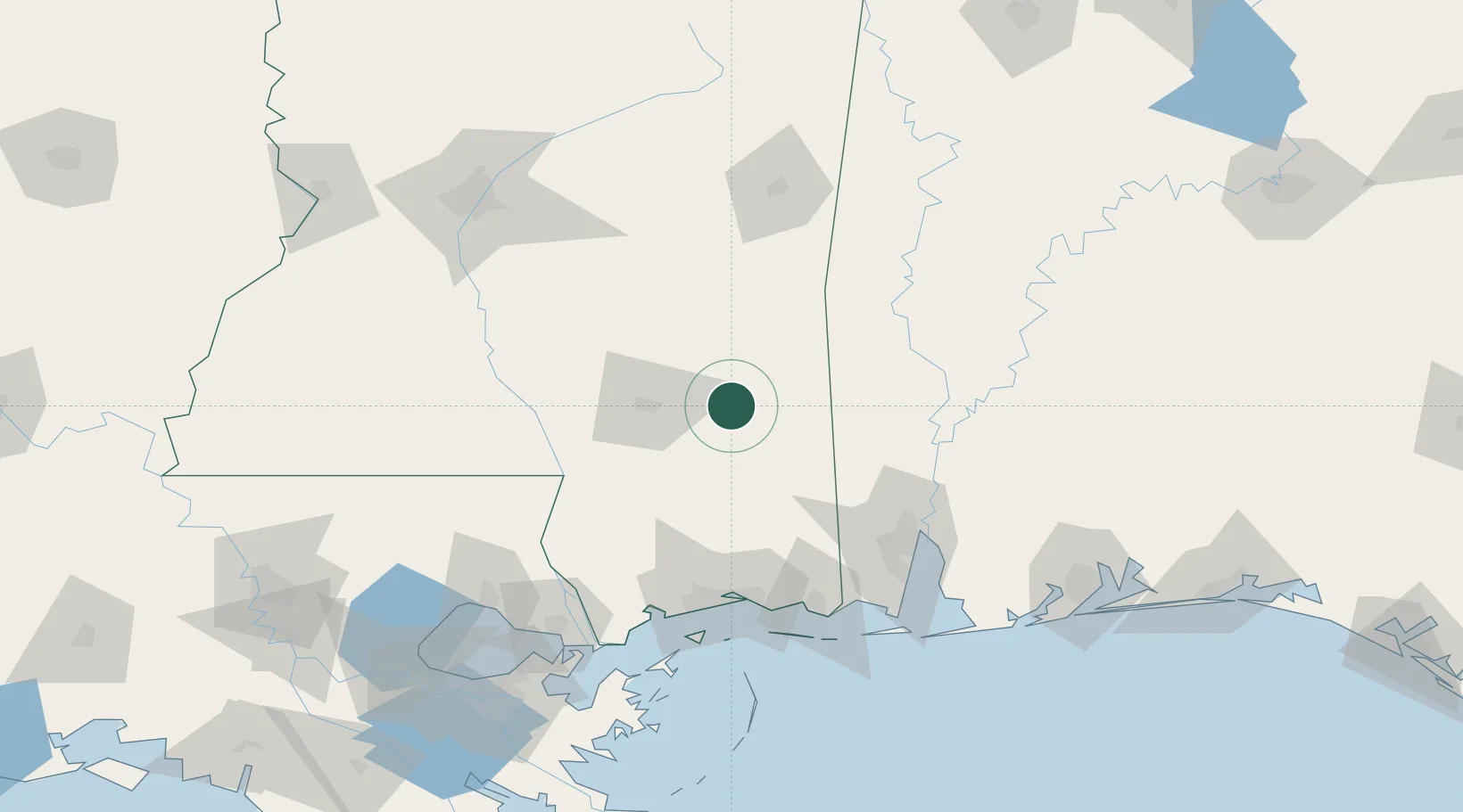
Hub Profile
Place type
Populated place
Region
Mississippi
Population
1,066
Time zone
America/Chicago
Elevation
53 m
Location
Nearby Logistics Neighbours
Cities
- 1New Augusta18 km
- 2Camp Shelby31 km
- 3Petal32 km
- 4Moselle37 km
- 5Sumrall, Lamar58 km
Ports
- 1Biloxi106 km
- 2Mobile106 km
- 3Gulfport110 km
- 4Pascagoula115 km
- 5Slidell144 km
Airports
Trade Zones
- 1FTZ No. 092 Harrison County102 km
- 2FTZ No. 082 Mobile108 km
- 3FTZ No. 249 Pensacola188 km
- 4FTZ No. 002 New Orleans189 km
- 5FTZ No. 158 Vicksburg Jackson207 km
DatabookThe Record of Consolidated Knowledge
United States beyond logistics?