UN/LOCODE hub · United States
USNA2
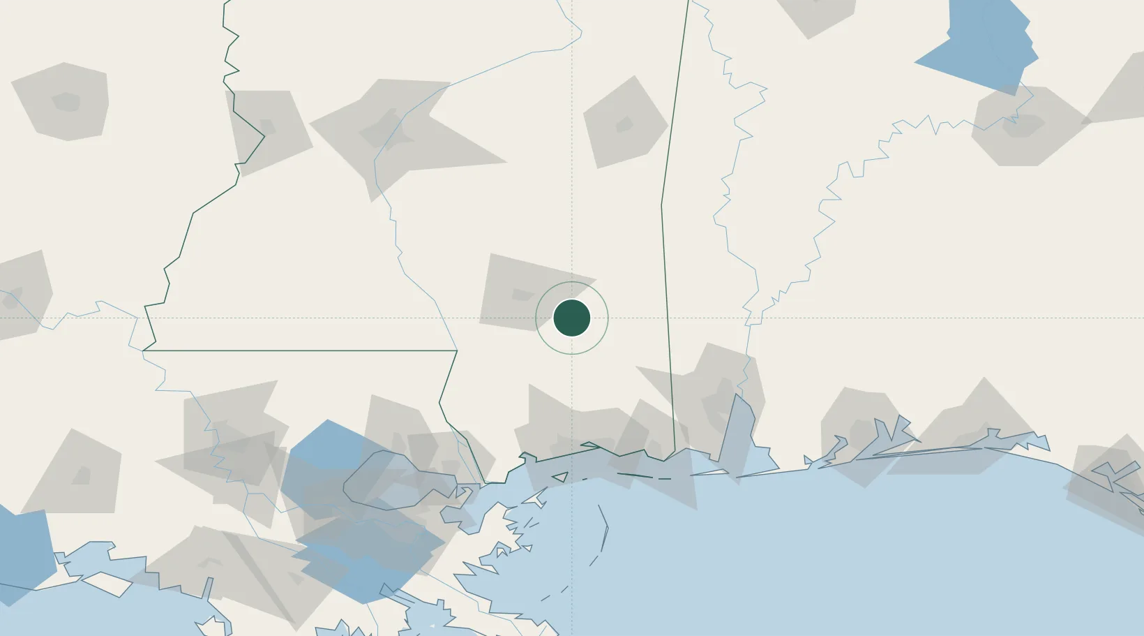
New Augusta
31.2000°, -89.0333°
641
Population
3
Transport functions
Transport Functions
Rail
Road
Multimodal
Hub Profile
Place type
Provincial seat
Region
Mississippi
Population
641
Time zone
America/Chicago
Elevation
34 m
Location
Nearby Logistics Neighbours
Cities
- 1Camp Shelby16 km
- 2Richton18 km
- 3Petal27 km
- 4Moselle40 km
- 5Sumrall, Lamar53 km
Ports
- 1Biloxi92 km
- 2Gulfport95 km
- 3Pascagoula105 km
- 4Mobile105 km
- 5Slidell126 km
Airports
Trade Zones
- 1FTZ No. 092 Harrison County87 km
- 2FTZ No. 082 Mobile106 km
- 3FTZ No. 002 New Orleans172 km
- 4FTZ No. 249 Pensacola189 km
- 5FTZ No. 124 Gramercy205 km
DatabookThe Record of Consolidated Knowledge
United States beyond logistics?