Transport Functions
Rail
Road
Multimodal
Hub Profile
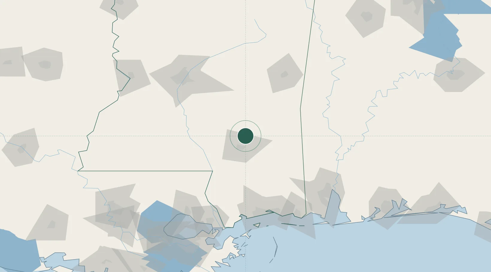
Place type
Populated place
Region
Mississippi
Time zone
America/Chicago
Elevation
71 m
Location
Nearby Logistics Neighbours
Cities
- 1Petal19 km
- 2Seminary23 km
- 3Sumrall, Lamar27 km
- 4Richton37 km
- 5Camp Shelby38 km
Ports
- 1Gulfport129 km
- 2Biloxi129 km
- 3Mobile142 km
- 4Pascagoula144 km
- 5Slidell146 km
Airports
Trade Zones
- 1FTZ No. 092 Harrison County124 km
- 2FTZ No. 082 Mobile144 km
- 3FTZ No. 158 Vicksburg Jackson170 km
- 4FTZ No. 002 New Orleans190 km
- 5FTZ No. 124 Gramercy212 km
DatabookThe Record of Consolidated Knowledge
United States beyond logistics?