Transport Functions
Rail
Road
Multimodal
Hub Profile
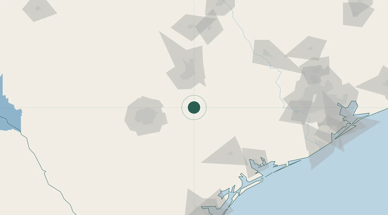
Place type
Populated place
Region
Texas
Population
5,764
Time zone
America/Chicago
Elevation
125 m
Location
Nearby Logistics Neighbours
Ports
- 1Port Lavaca154 km
- 2Palacios177 km
- 3Rockport193 km
- 4Corpus Christi207 km
- 5Port Ingleside211 km
Airports
Trade Zones
- 1FTZ No. 183 Austin67 km
- 2FTZ No. 080 San Antonio113 km
- 3FTZ No. 122 Corpus Christi208 km
- 4FTZ No. 246 Waco213 km
- 5FTZ No. 084 Harris County227 km
DatabookThe Record of Consolidated Knowledge
United States beyond logistics?