Transport Functions
Port
Rail
Road
Hub Profile
Place type
Populated place
Region
Alabama
Time zone
America/Chicago
Elevation
189 m
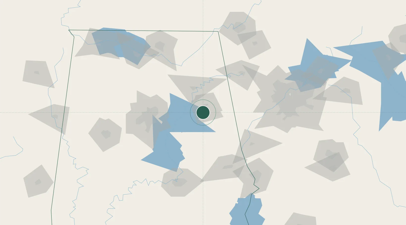
Location
Nearby Logistics Neighbours
Cities
- 1Lincoln23 km
- 2Delta24 km
- 3Wellington26 km
- 4Talladega27 km
- 5Ragland31 km
Ports
- 1Pensacola376 km
- 2Panama City384 km
- 3Mobile386 km
- 4Port St Joe422 km
- 5Carrabelle430 km
Airports
Trade Zones
- 1FTZ No. 098 Birmingham88 km
- 2FTZ No. 026 Atlanta138 km
- 3FTZ No. 222 Montgomery141 km
- 4FTZ No. 083 Huntsville144 km
- 5FTZ No. 270 Lawrence County152 km
DatabookThe Record of Consolidated Knowledge
United States beyond logistics?