UN/LOCODE hub · United States
USASN
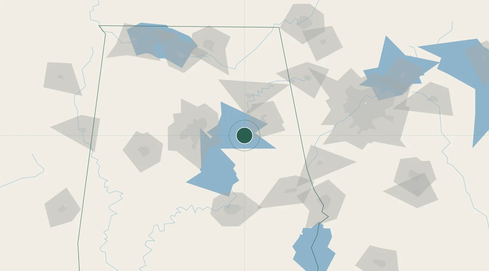
Talladega
33.4333°, -86.1000°
15,709
Population
3
Transport functions
Transport Functions
Rail
Road
Airport
Hub Profile
Place type
Provincial seat
Region
Alabama
Population
15,709
Time zone
America/Chicago
Elevation
170 m
Location
Nearby Logistics Neighbours
Cities
- 1Lincoln19 km
- 2Cropwell20 km
- 3Coosa Pines26 km
- 4Trinity27 km
- 5Childersburg29 km
Ports
- 1Pensacola353 km
- 2Mobile360 km
- 3Panama City369 km
- 4Port St Joe409 km
- 5Pascagoula414 km
Airports
Trade Zones
- 1FTZ No. 098 Birmingham67 km
- 2FTZ No. 222 Montgomery120 km
- 3FTZ No. 083 Huntsville148 km
- 4FTZ No. 270 Lawrence County154 km
- 5FTZ No. 265 Conroe (Montgomery County)158 km
DatabookThe Record of Consolidated Knowledge
United States beyond logistics?