Medium airport · United States

Fulton County Airport Brown FieldKFTY
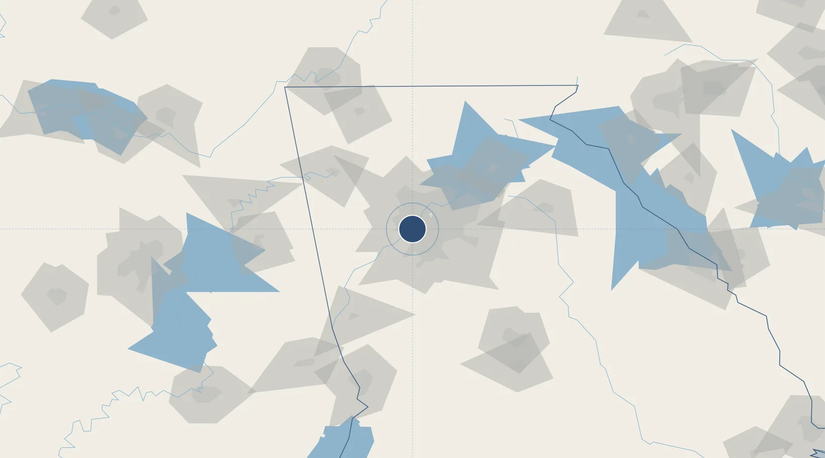
33.7791°, -84.5214°
5,797 ft
Longest runway
1
Runways
841 ft
Elevation

Runway & Layout

Fulton County Airport Brown Field runway & taxiway layout
Runway & taxiway layout — OpenStreetMap (ODbL) / OurAirports

Radio Frequencies

ATIS
120.175 MHz
TWR
118.45 MHz
COUNTY TWR
GND
121.7 MHz
CTAF
118.45 MHz
A/D
121 MHz
ATLANTA APP/DEP
RDO
122.2 MHz
MACON RDO
UNIC
122.95 MHz
UNICOM
OurAirports

Navaids

FT NDB Flanc 344 kHz
OurAirports

Runways · 1

RunwayDimensions SurfaceTrue headingLit
08/26 5,797 × 100ft Asphalt 080°
OurAirports

Airport Specifications

IATA code
FTY
OurAirports
ICAO code
KFTY
OurAirports
Airport class
Medium airport
OurAirports
Scheduled service
No
OurAirports
Runway surface
Asphalt
OurAirports
Served city
Atlanta
OurAirports

Location

Location of KFTY
Natural Earth 10m (public domain) · Georgia · KFTY · 33.78, -84.52GoogleOSMYandex

Nearby Logistics Neighbours

Airports
  1. 1Dobbins Air Reserve Base15 km
  2. 2Hartsfield Jackson Atlanta International Airport18 km
  3. 3DeKalb Peachtree Airport23 km
  4. 4Cobb County International Airport-McCollum Field27 km
  5. 5Richard B Russell Airport87 km
Nearest neighbours — logibook spatial index (haversine) over the source coordinates
Cities
  1. 1Sandy Springs21 km
  2. 2Dunwoody26 km
  3. 3Fairburn26 km
  4. 4Riverdale26 km
  5. 5Ellenwood26 km
Nearest neighbours — logibook spatial index (haversine) over the source coordinates
Ports
  1. 1Savannah372 km
  2. 2Beaufort389 km
  3. 3Port Royal391 km
  4. 4Darien395 km
  5. 5Brunswick407 km
Nearest neighbours — logibook spatial index (haversine) over the source coordinates
Trade Zones
  1. 1FTZ No. 026 Atlanta12 km
  2. 2FTZ No. 134 Chattanooga166 km
  3. 3FTZ No. 098 Birmingham214 km
  4. 4FTZ No. 083 Huntsville228 km
  5. 5FTZ No. 222 Montgomery229 km
Nearest neighbours — logibook spatial index (haversine) over the source coordinates
DatabookThe Record of Consolidated Knowledge
United States beyond logistics?
Browse databook

All Sources

AirportsOurAirports
Public domain
Portsthe NGA World Port Index
Public domain (US gov)
LocationsUN/LOCODE
UN/LOCODE — free
Trade Zonesthe World Bank SEZ database
CC BY 4.0
Trade ZonesOpen Zone Map
CC BY
InfrastructureOpenStreetMap
ODbL 1.0
← United States airports