Transport Functions
Port
Hub Profile
Place type
Populated place
Region
Alabama
Population
197
Time zone
America/Chicago
Elevation
338 m
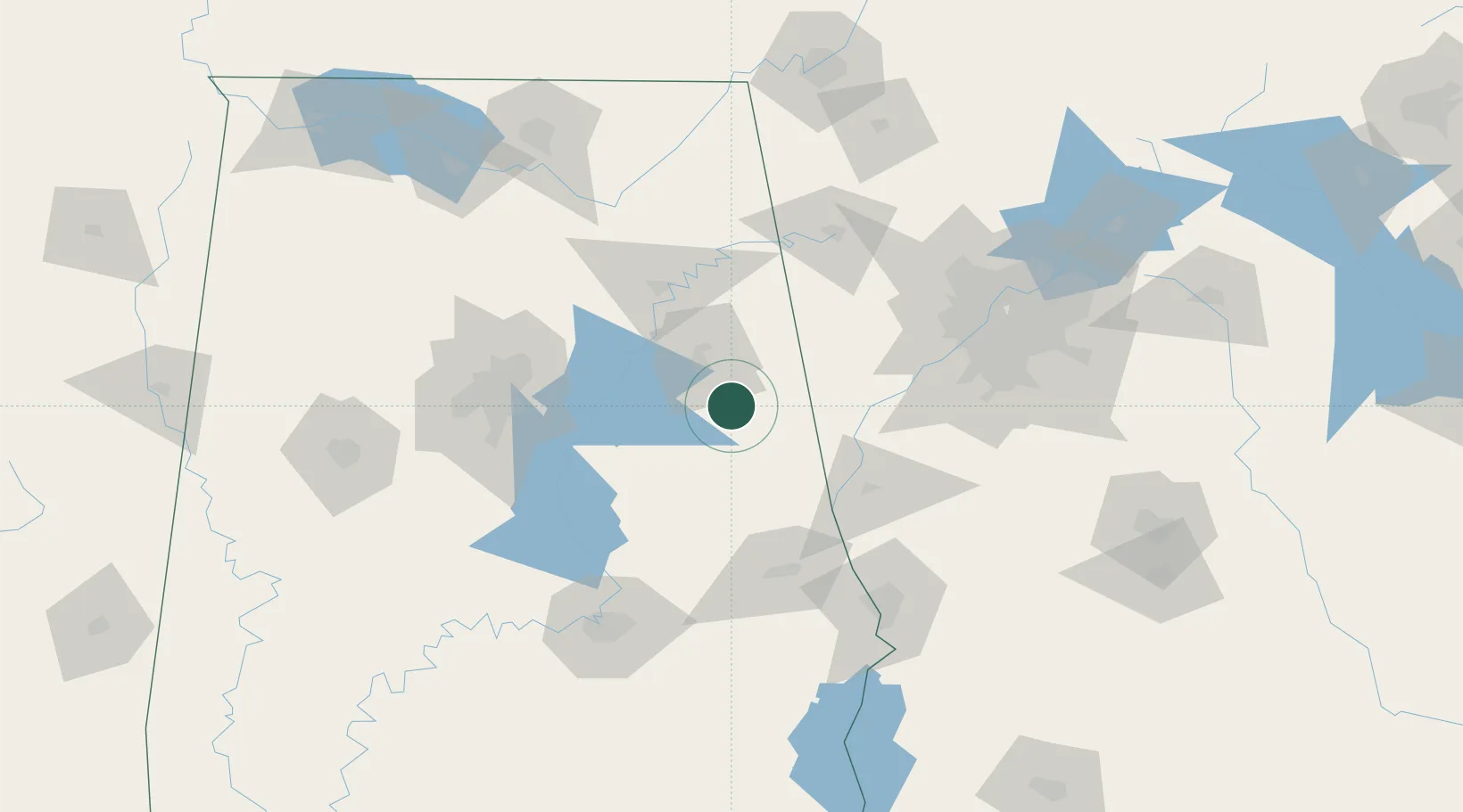
Location
Nearby Logistics Neighbours
Cities
- 1Wedowee24 km
- 2Trinity24 km
- 3Wadley37 km
- 4Talladega39 km
- 5Fruithurst39 km
Ports
- 1Panama City367 km
- 2Pensacola367 km
- 3Mobile382 km
- 4Port St Joe404 km
- 5Carrabelle410 km
Airports
Trade Zones
- 1FTZ No. 098 Birmingham105 km
- 2FTZ No. 026 Atlanta125 km
- 3FTZ No. 222 Montgomery132 km
- 4FTZ No. 083 Huntsville168 km
- 5FTZ No. 270 Lawrence County176 km
DatabookThe Record of Consolidated Knowledge
United States beyond logistics?