UN/LOCODE hub · United States
USNLI
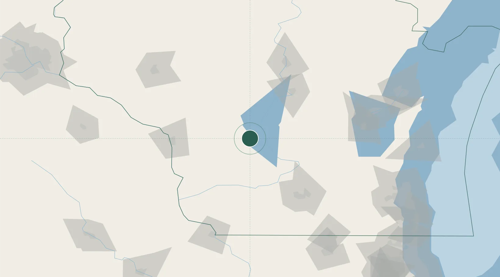
New Lisbon
43.8667°, -90.1500°
2,486
Population
4
Transport functions
Transport Functions
Port
Rail
Road
Multimodal
Hub Profile
Place type
Populated place
Region
Wisconsin
Population
2,486
Time zone
America/Chicago
Elevation
273 m
Location
Nearby Logistics Neighbours
Cities
- 1Elroy18 km
- 2Necedah20 km
- 3Union Center22 km
- 4Wonewoc25 km
- 5Hillsboro28 km
Ports
- 1Kaukauna157 km
- 2Green Bay185 km
- 3Port Washington192 km
- 4Sheboygan197 km
- 5Manitowoc202 km
Airports
- 1Volk Field12 km
- 2La Crosse Regional Airport89 km
- 3Dane County Regional Truax Field104 km
- 4Central Wisconsin Airport108 km
- 5Wausau Downtown Airport125 km
Trade Zones
- 1FTZ No. 266 Dane County96 km
- 2FTZ No. 167 Brown County163 km
- 3FTZ No. 271 Jo-Daviess and Carroll Counties173 km
- 4FTZ No. 041 Milwaukee188 km
- 5FTZ No. 176 Rockford195 km
DatabookThe Record of Consolidated Knowledge
United States beyond logistics?