Transport Functions
Rail
Road
Multimodal
Hub Profile
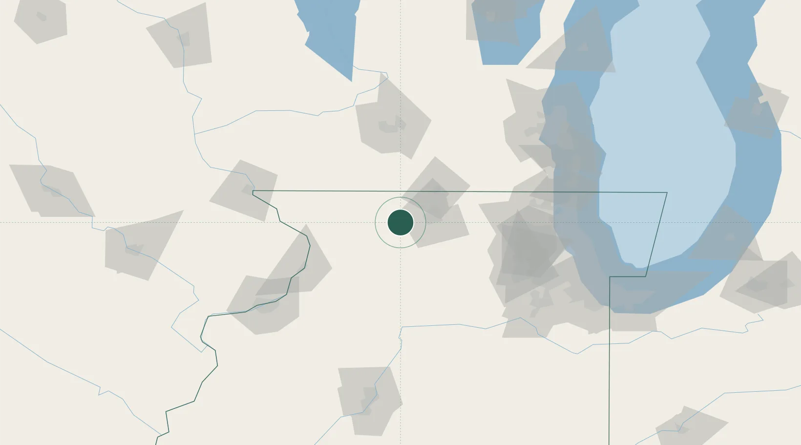
Place type
Populated place
Region
Illinois
Time zone
America/Chicago
Elevation
272 m
Location
Nearby Logistics Neighbours
Cities
- 1Pecatonica7 km
- 2Winnebago10 km
- 3Byron15 km
- 4Rock City21 km
- 5Dakota22 km
Ports
- 1Great Lakes125 km
- 2Waukegan127 km
- 3Kenosha132 km
- 4Wilmette138 km
- 5Racine140 km
Airports
Trade Zones
- 1FTZ No. 176 Rockford12 km
- 2FTZ No. 271 Jo-Daviess and Carroll Counties74 km
- 3FTZ No. 266 Dane County97 km
- 4FTZ No. 292 Lake County121 km
- 5FTZ No. 022 Chicago130 km
DatabookThe Record of Consolidated Knowledge
United States beyond logistics?