Transport Functions
Port
Rail
Road
Multimodal
Hub Profile
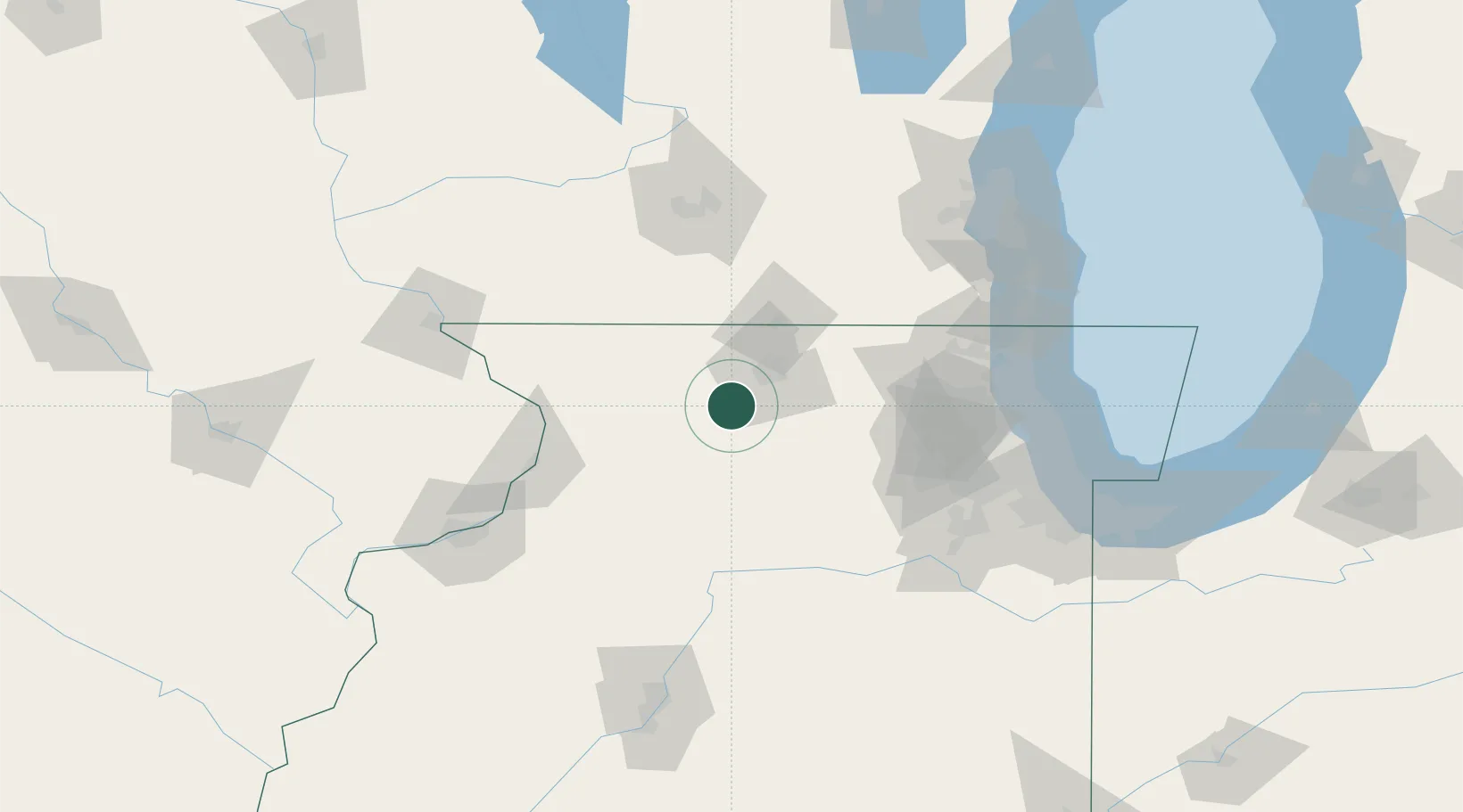
Place type
Populated place
Region
Illinois
Population
3,648
Time zone
America/Chicago
Elevation
222 m
Location
Nearby Logistics Neighbours
Cities
- 1Davis Junction14 km
- 2Winnebago15 km
- 3Seward15 km
- 4Holcomb16 km
- 5Lindenwood21 km
Ports
- 1Great Lakes118 km
- 2Waukegan121 km
- 3Kenosha129 km
- 4Wilmette129 km
- 5Racine139 km
Airports
Trade Zones
- 1FTZ No. 176 Rockford16 km
- 2FTZ No. 271 Jo-Daviess and Carroll Counties84 km
- 3FTZ No. 266 Dane County112 km
- 4FTZ No. 292 Lake County114 km
- 5FTZ No. 022 Chicago118 km
DatabookThe Record of Consolidated Knowledge
United States beyond logistics?